


Welcome to the Neighbourhoods! If you are just reading this and want to know the context of this all or the project guiding these posts, you can find that here.
I decided to go to Brooklands because the name had come up in my various different searches about the history of Winnipeg.
Brooklands is small neighbourhood in the Northwest corner of Winnipeg. Almost a perfect square, the boundaries of the neighbourhood Notre Dame Ave in the south, Keewatin Street on the east side, Route 90 on the west, and the train tracks on the north.

History
Just some real quick and rough history of the place.
With Winnipeg’s incorporation as a city in 1873, Brooklands was still pretty rural, part of the rural municipality of Rosser and quite far away to the fledging city. After 1882 with the city’s expansion, all of the sudden the area of Brooklands was right up against the city.
The area of Brooklands was beside one of the city’s railyards, so it was a place that people could go that was just outside of the city but close to work (LOVE a short work commute). By the turn of the century, it was a “working-class enclave.”1 That feisty working class attitude caused tensions with Rosser and they advocated for INDEPENDENCE.
That came in 1921 and it was declared a village. BOOM.
The Great Depression was apparently shit for the village of Brooklands but of course no shit the depression was bad for everyone.
It was so bad for Brooklands that they went bankrupt in 1932. They had to have an external manager for a while but they never really recovered, with infighting and political drama. It eventually got absorbed into the City of St. James in 1967, and then Winnipeg in 1971.
Photos and observations
I started on the south side of the neighbourhood and worked my way up.
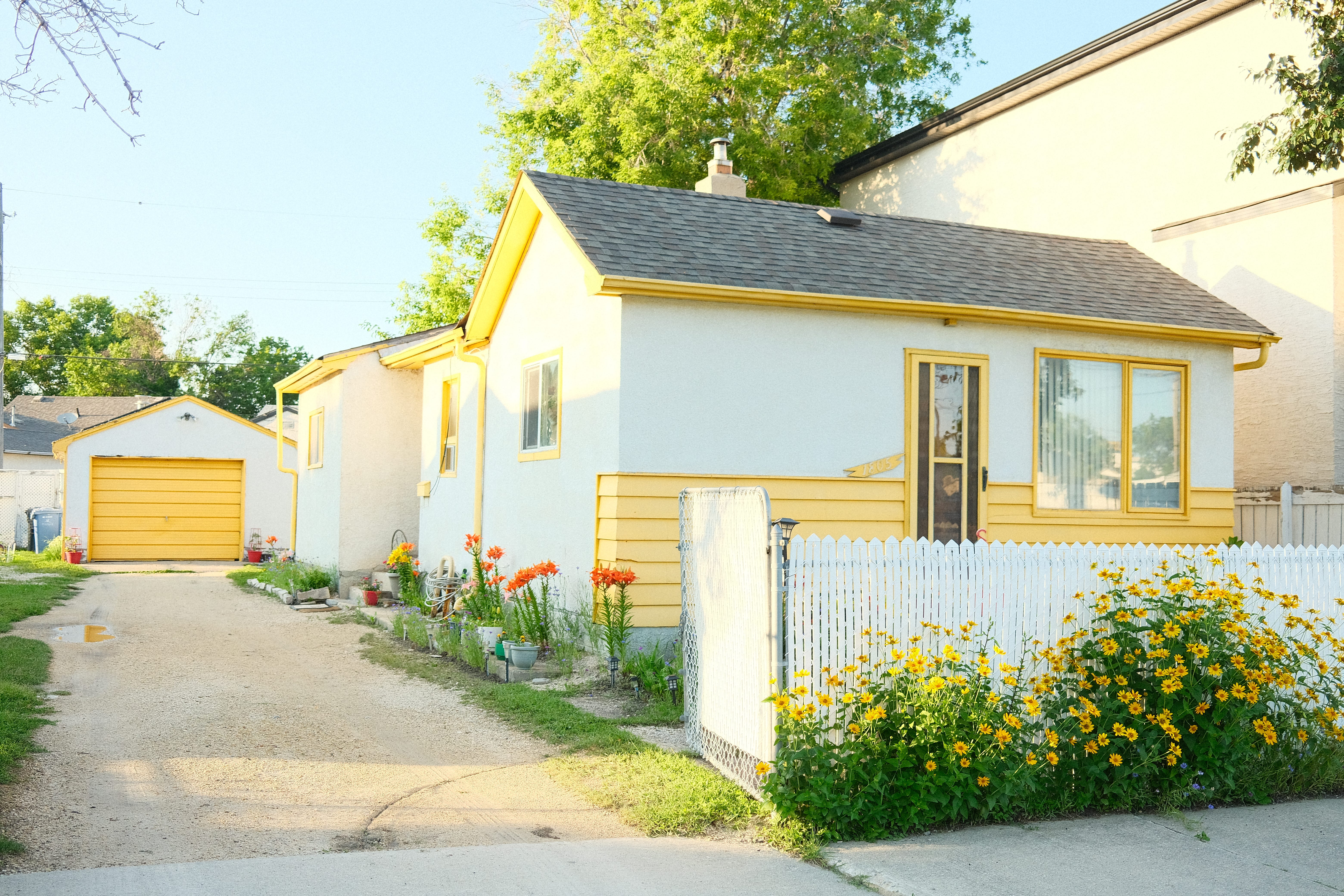
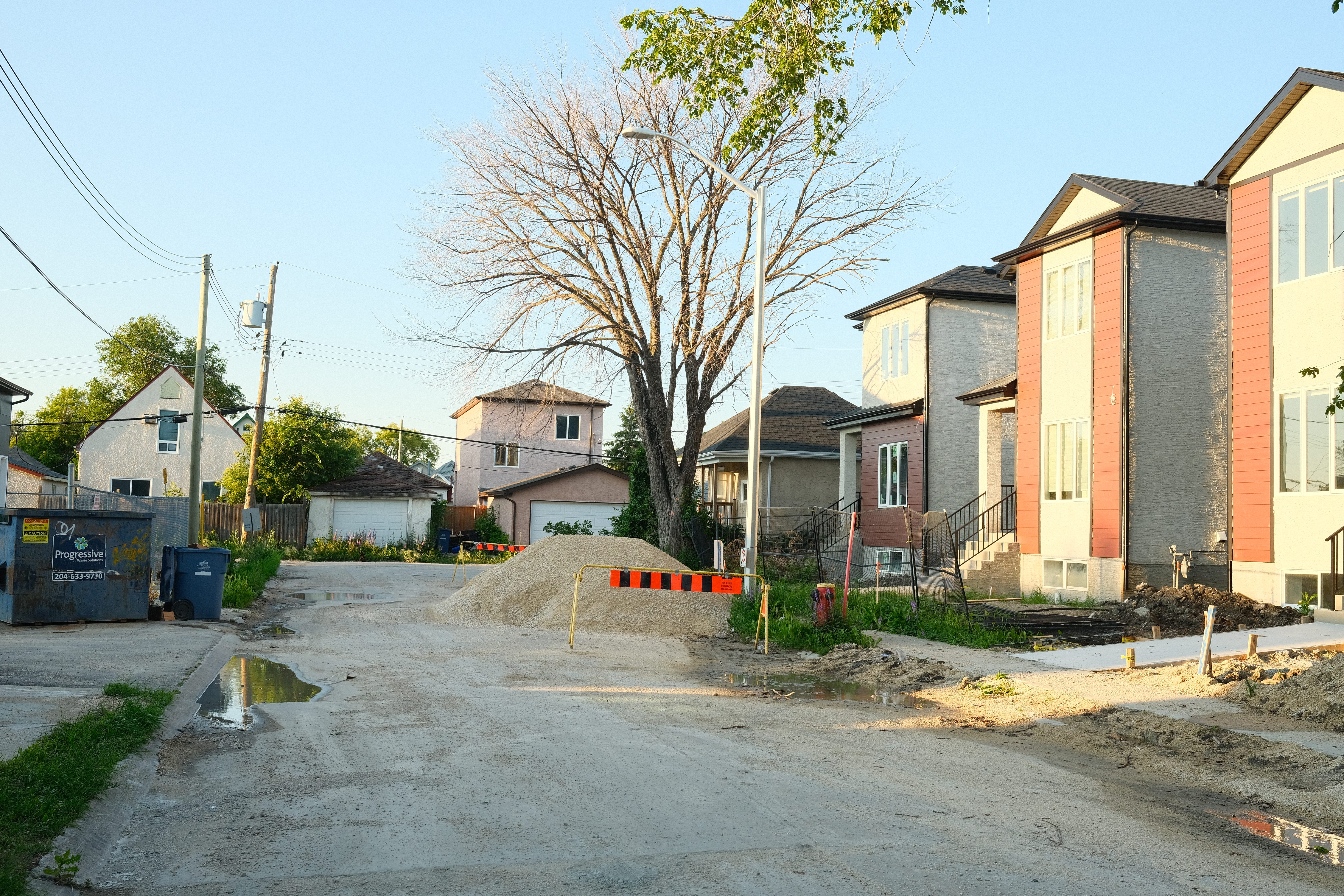
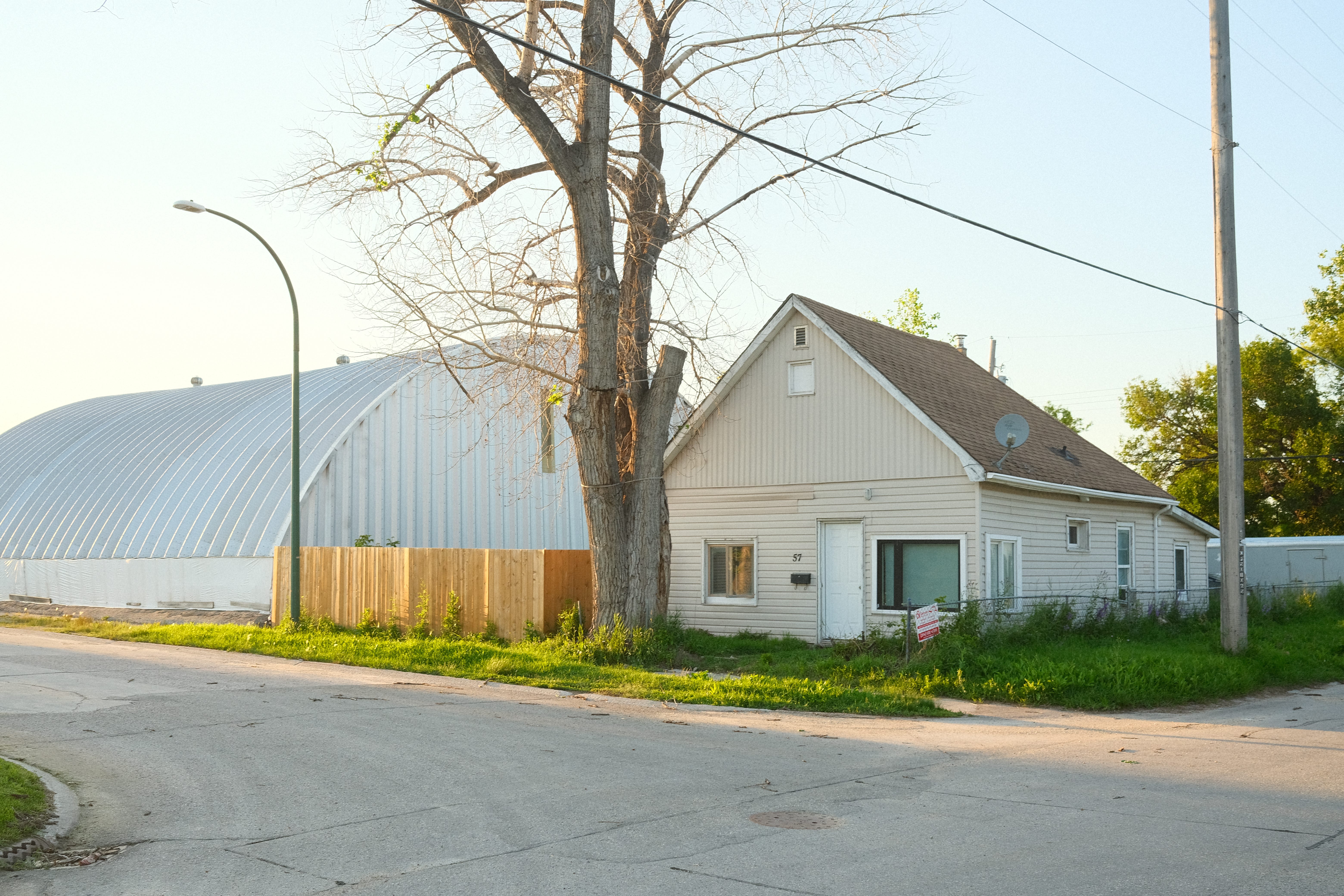
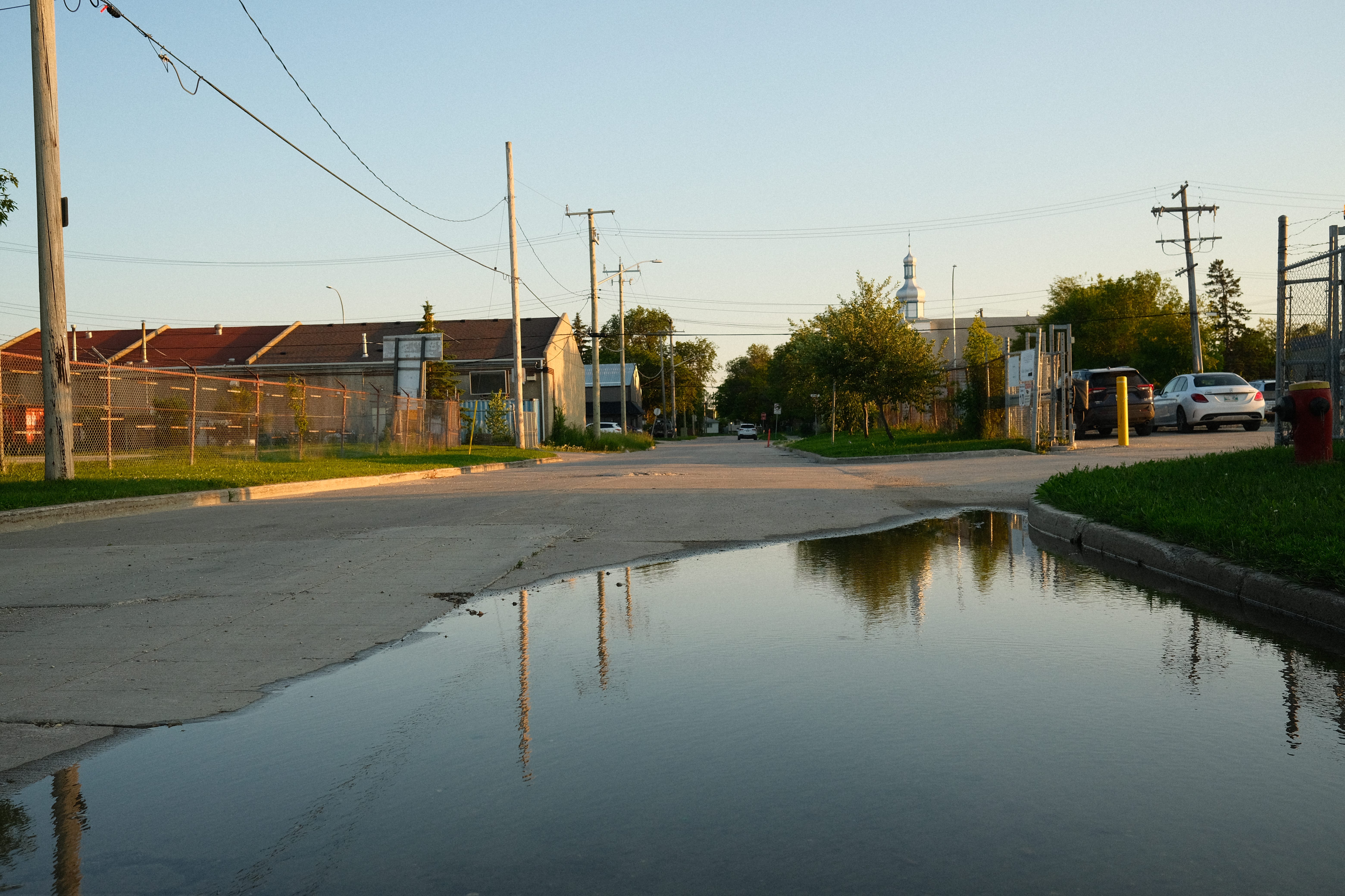
The south part of the neighbourhood is mostly suburban with similar feelings to other neighbourhoods.
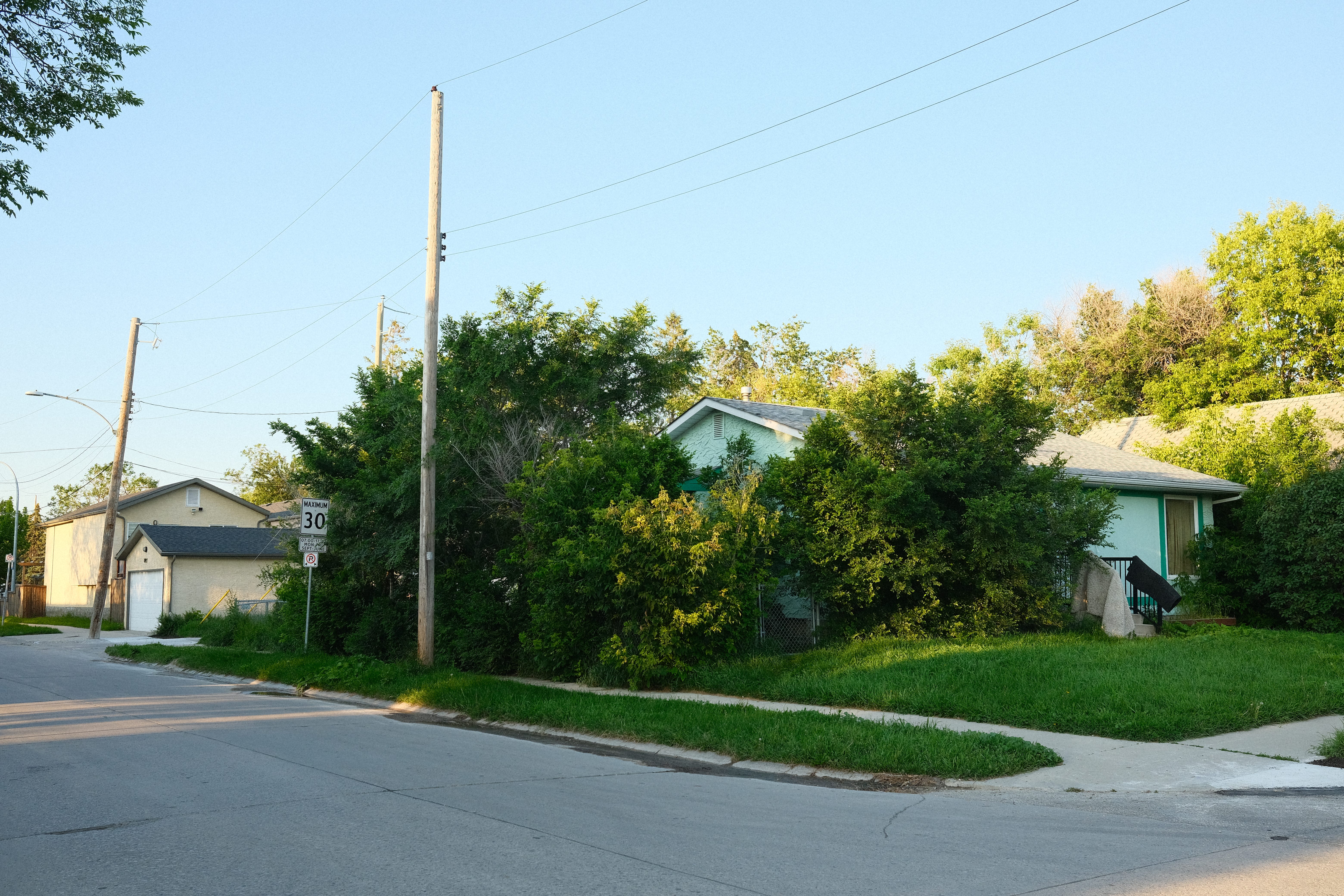
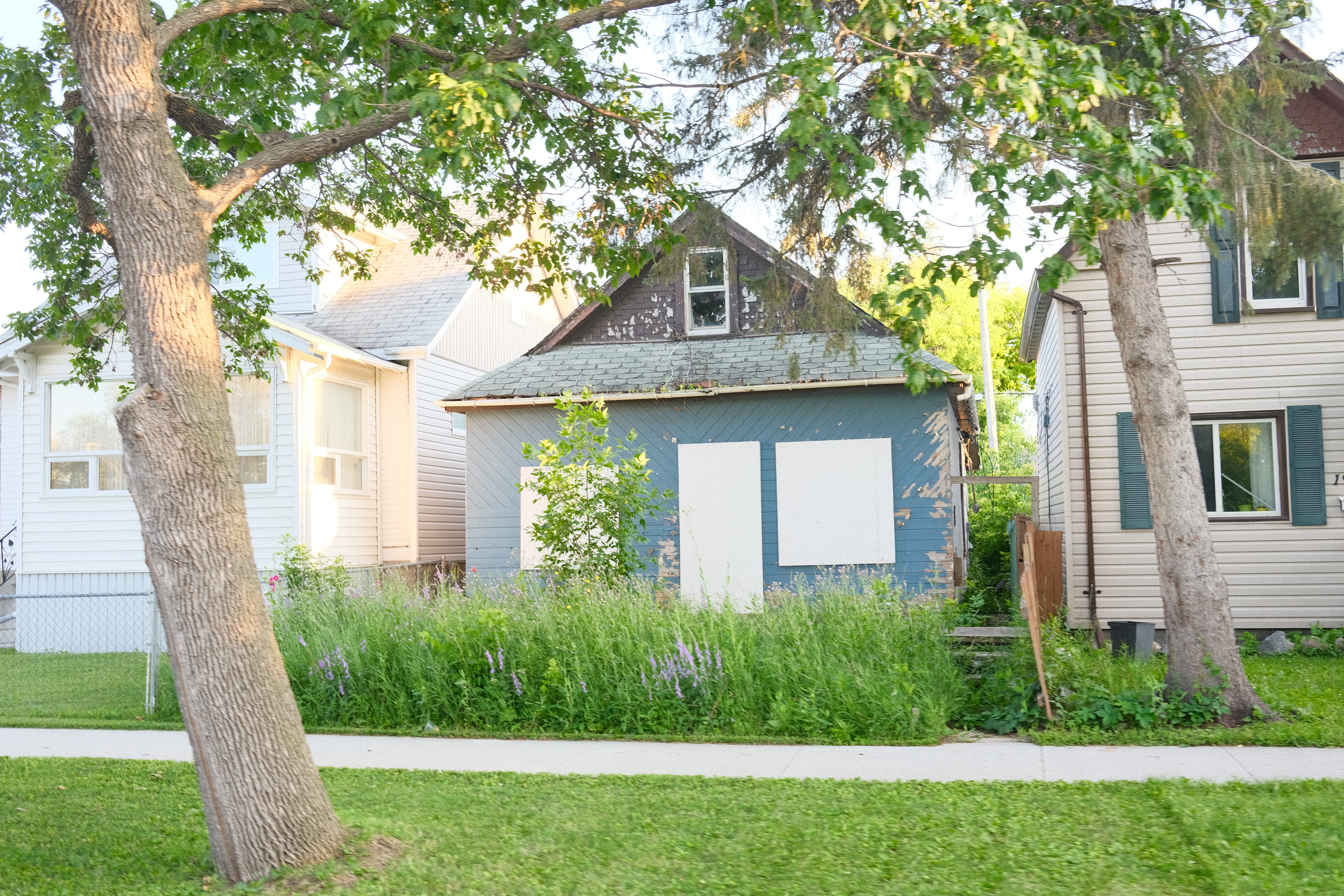
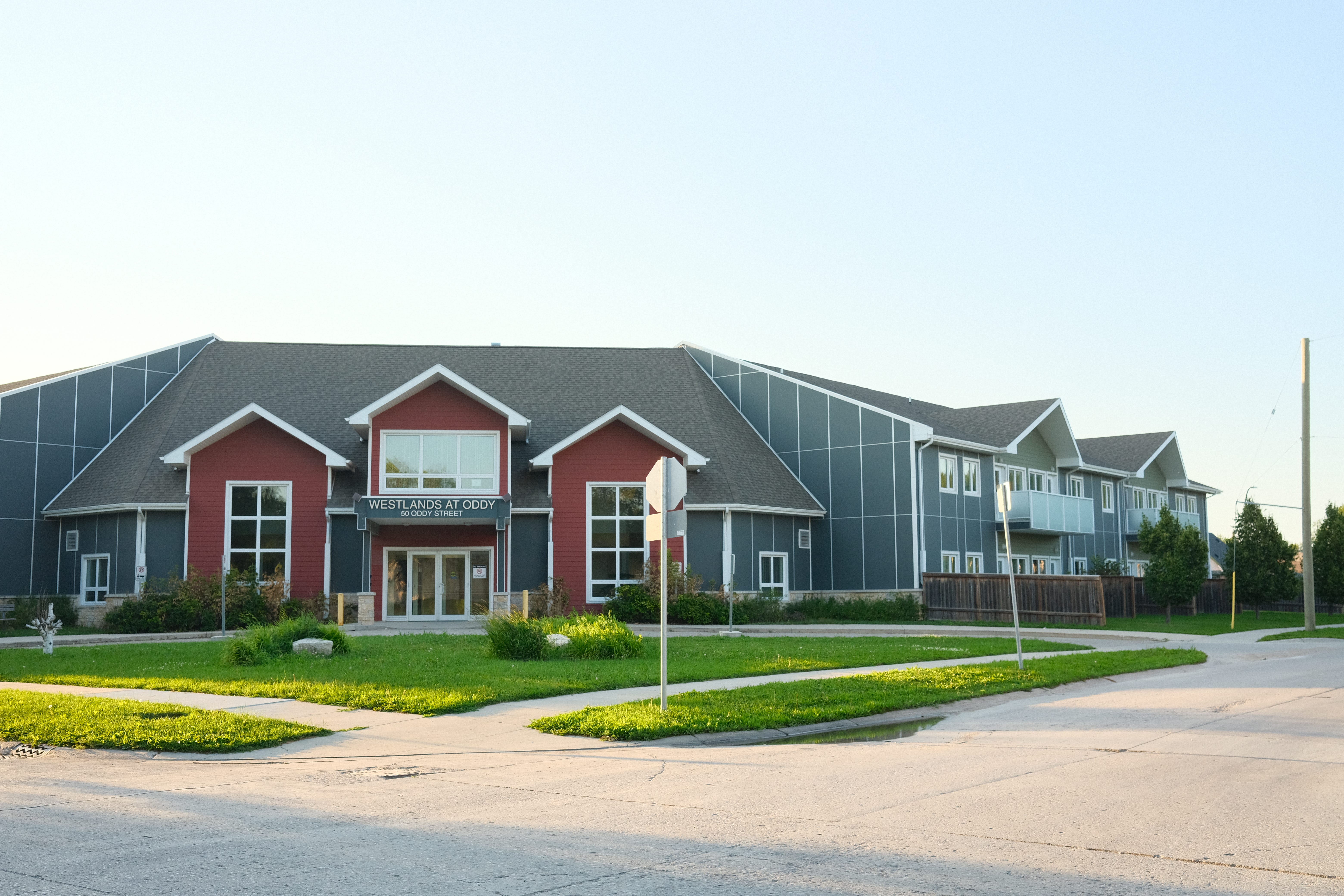
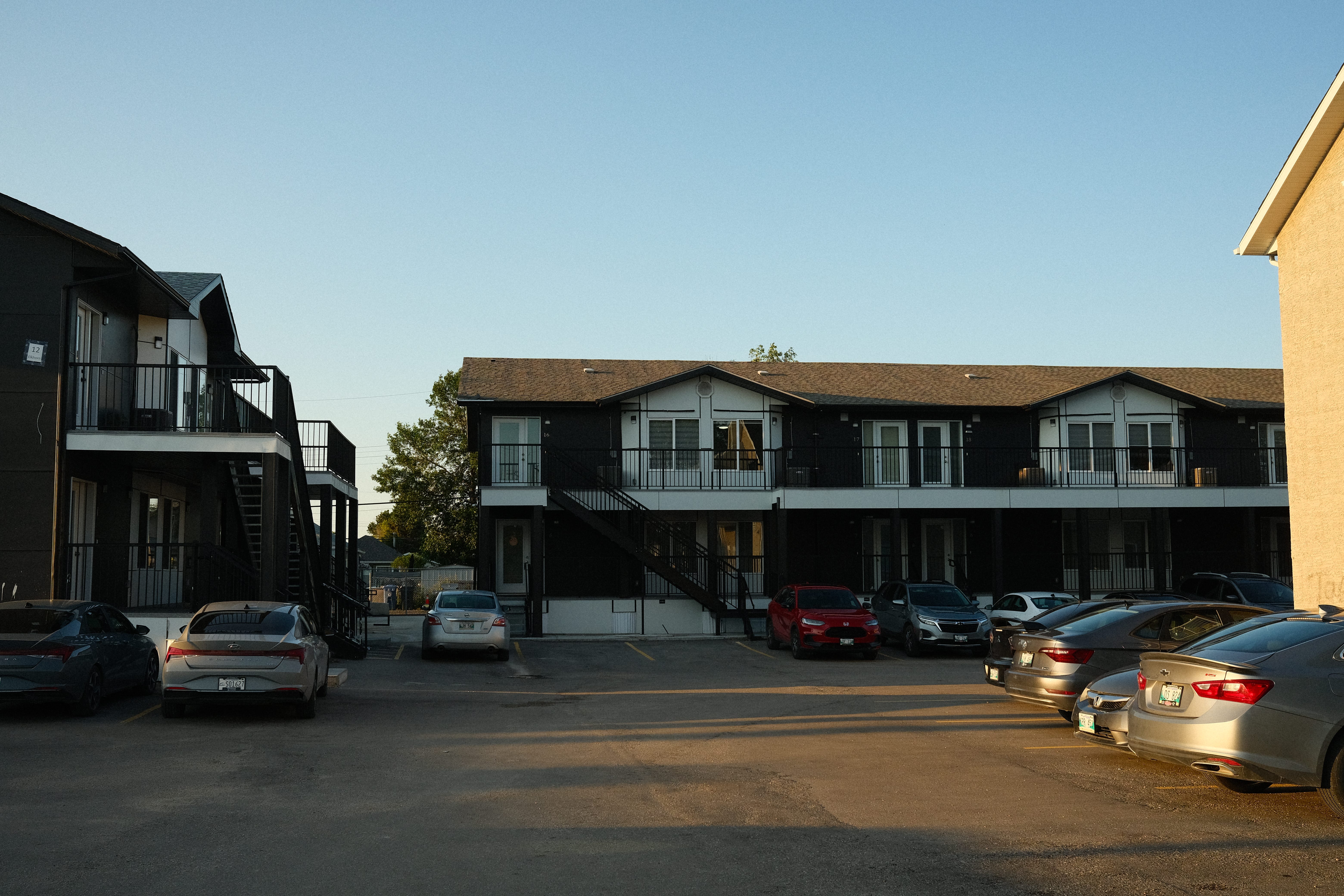
However, I also noticed that there were various different newer projects. Many minimalist infill projects, some more dense than other and also co-op housing projects as well!
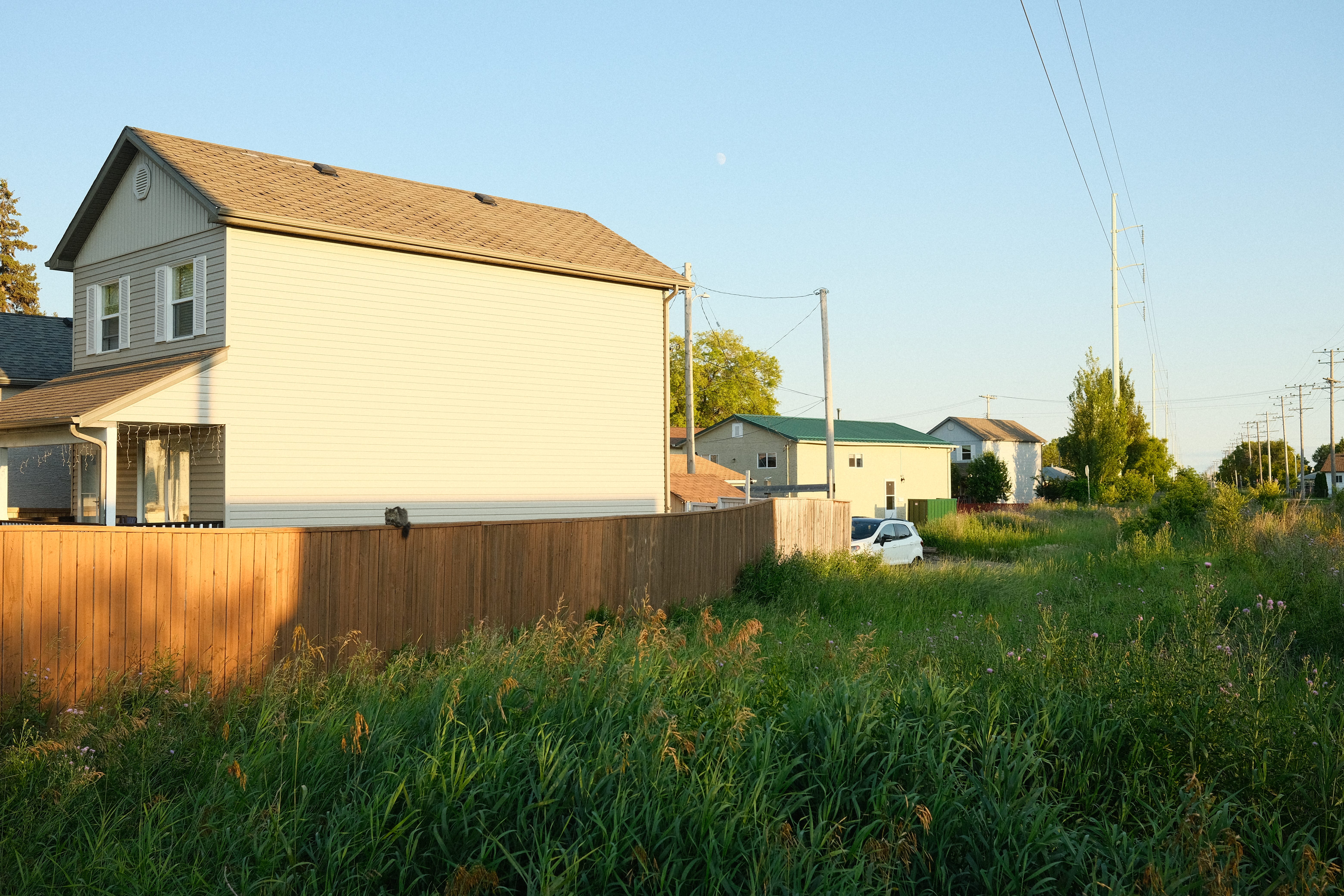
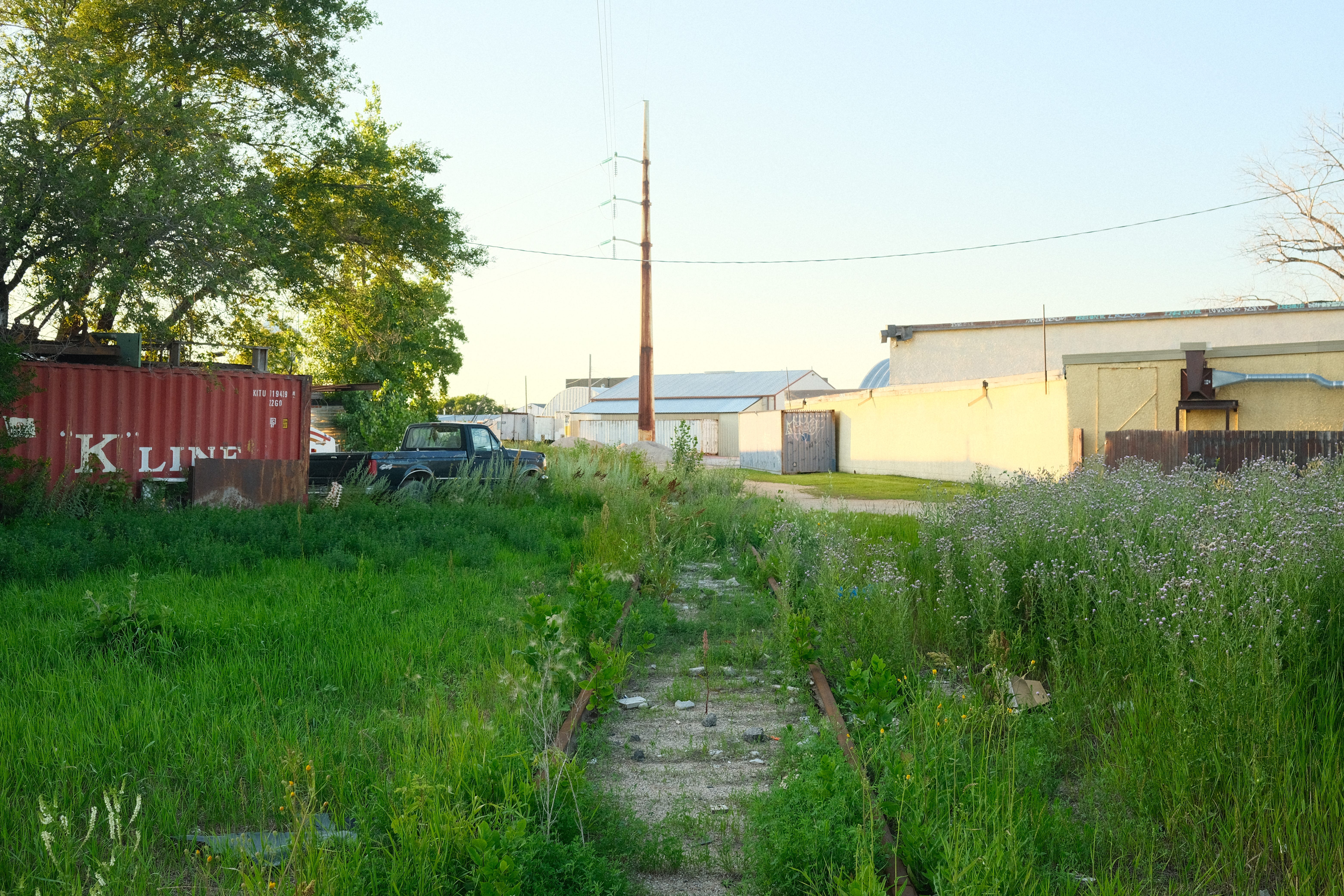
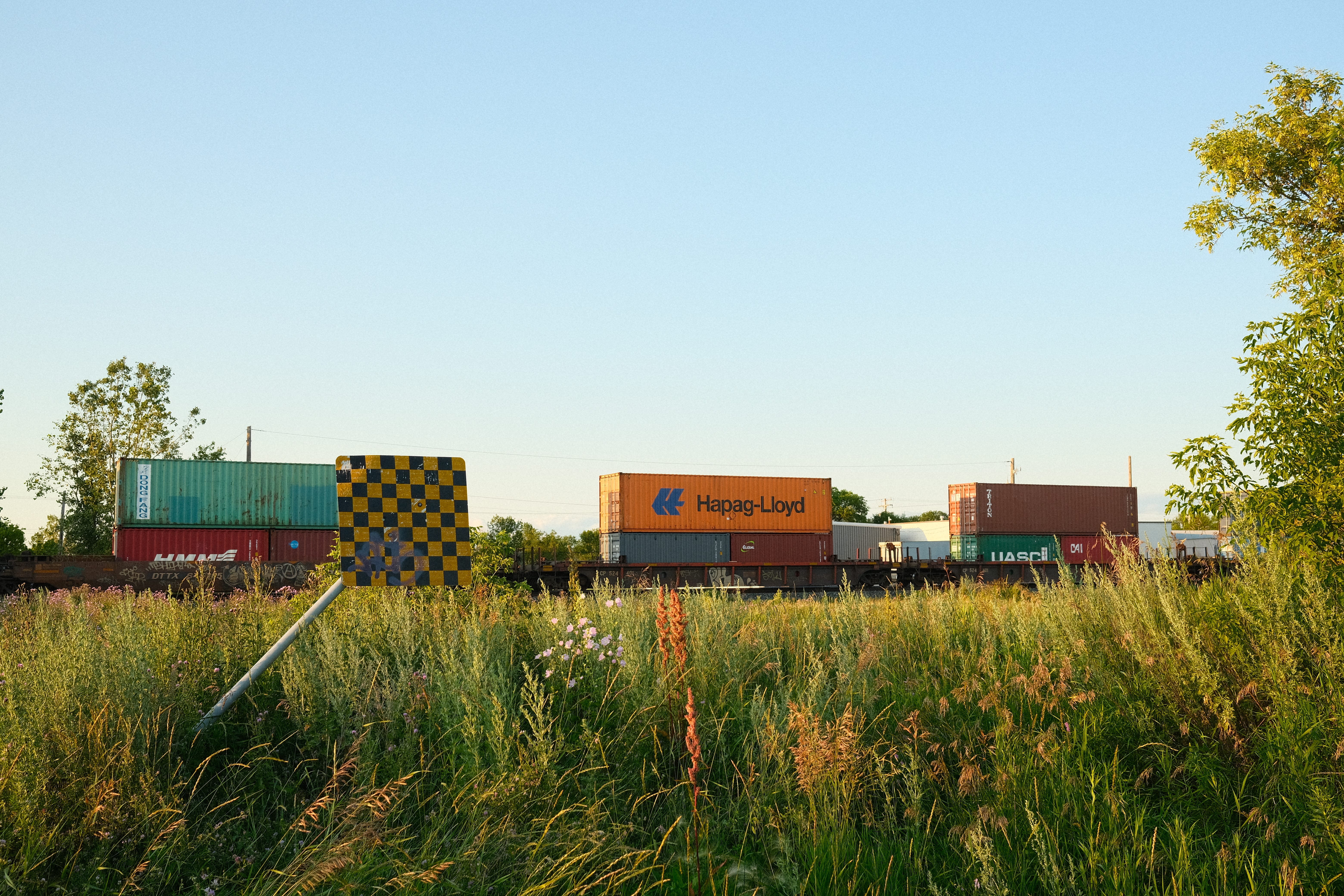
An element that breaks up the grid is a rail line that runs north-south in the middle of the neighbourhood. It is not operational, and nature is slowly reclaiming it. With worn in, self created walking and biking trails, people seem to use the rail line (now greenspace) to navigate through the neighbourhood. I found myself sitting down on the rail for a break. Its a nice, quiet place to rest.
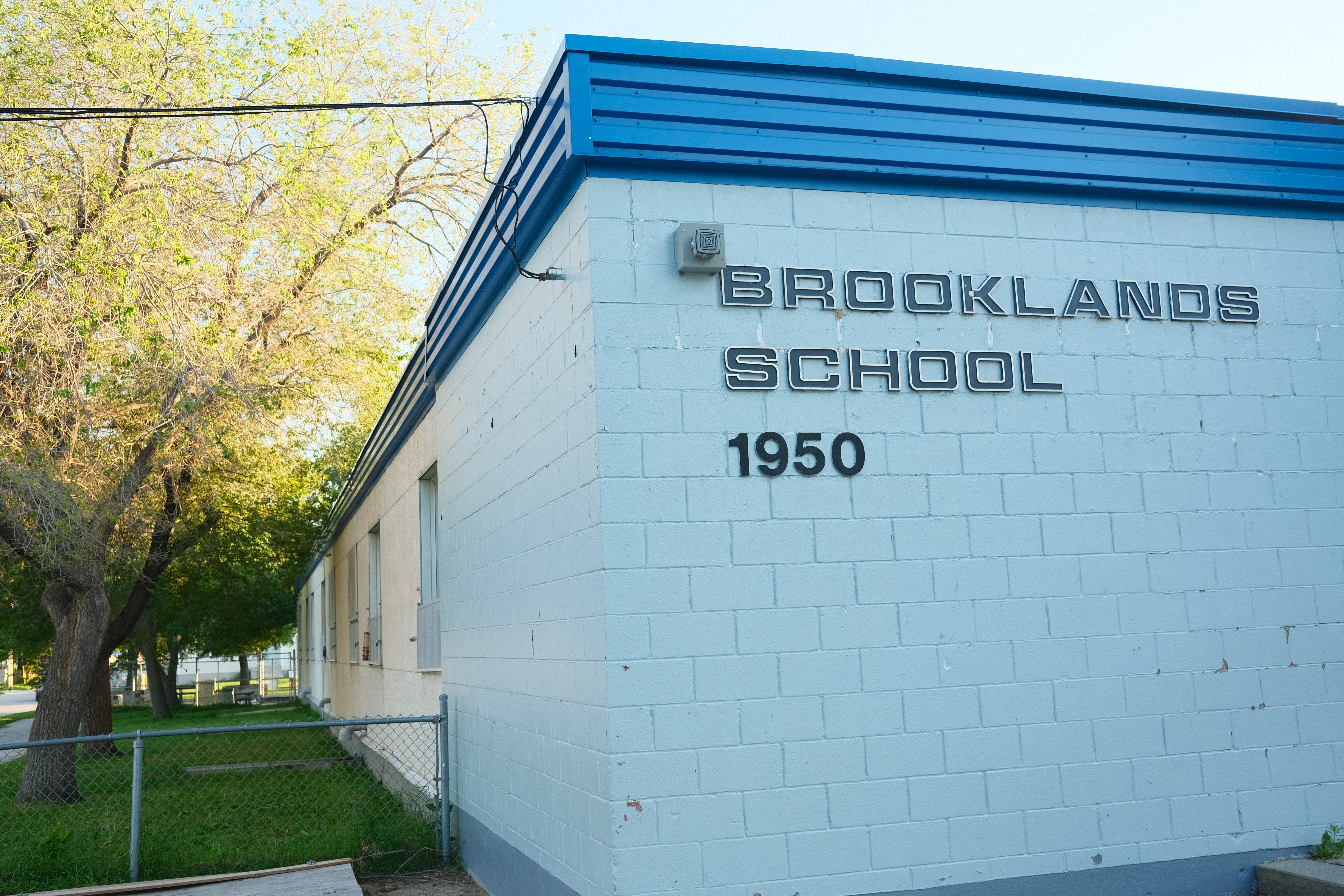
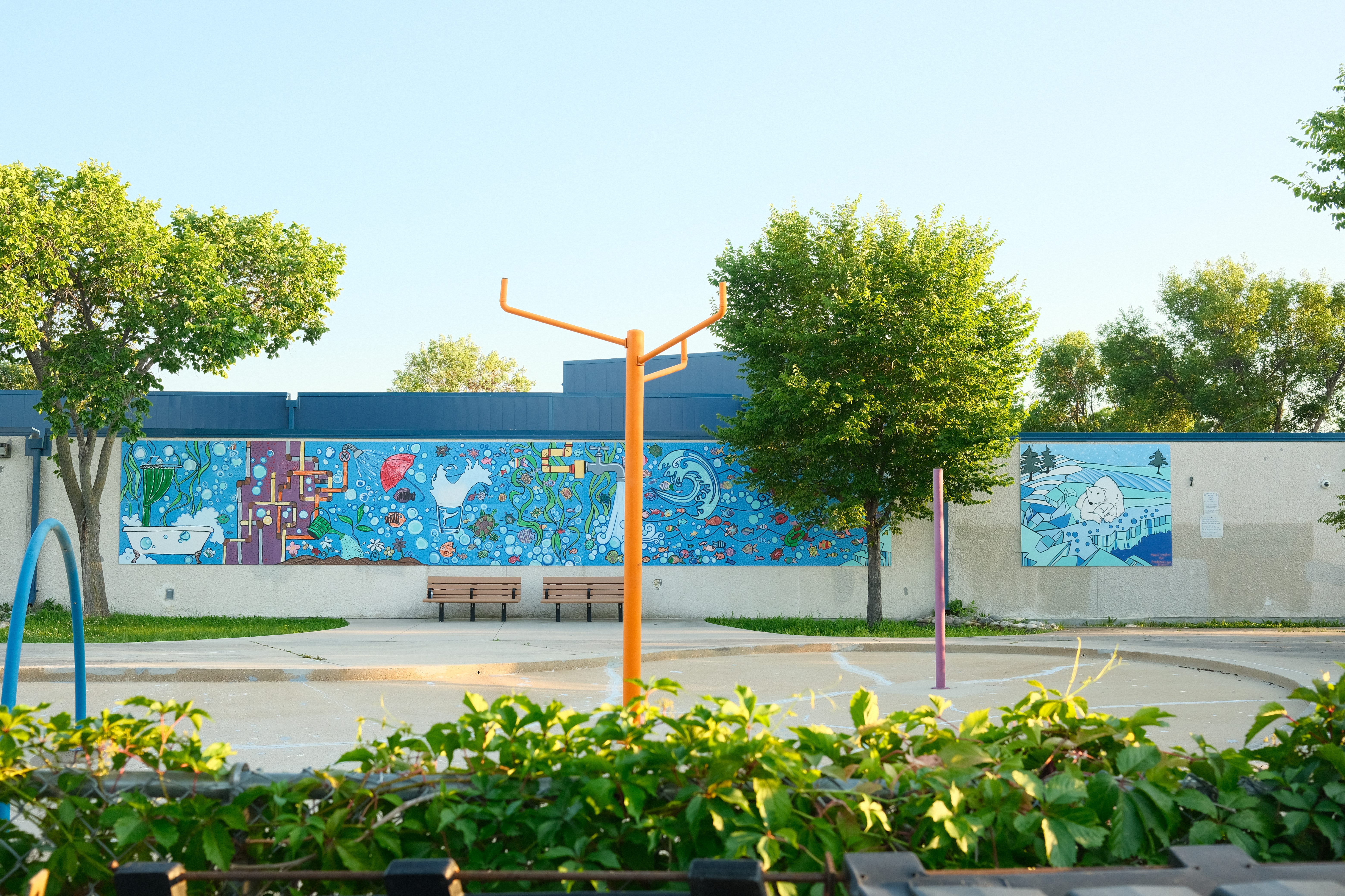
In the centre of the neighbourhood is the Brooklands School and green space, which also includes Norwester on Alexander, a community centre. These spaces and buildings are a great addition to the neighbourhood!
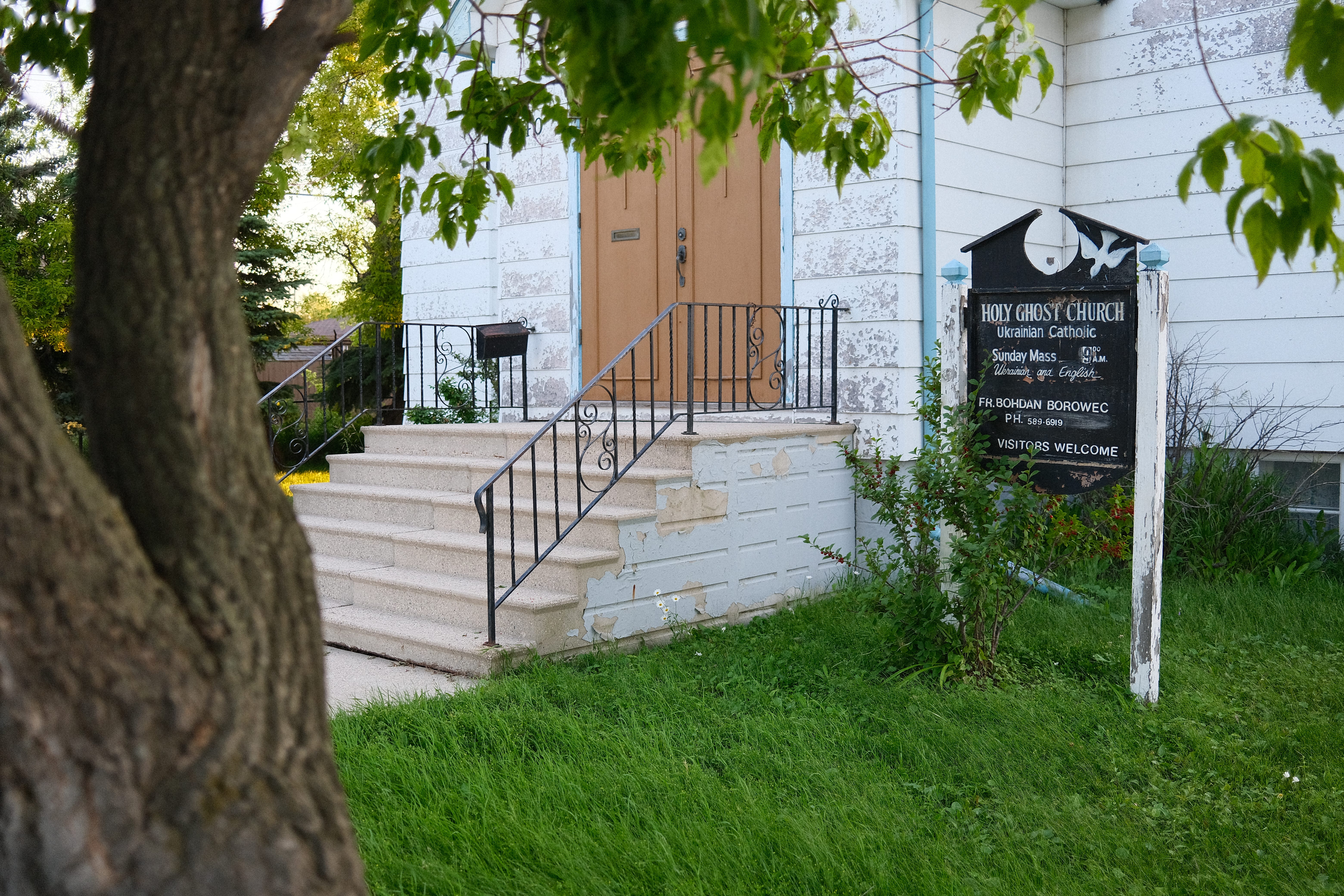
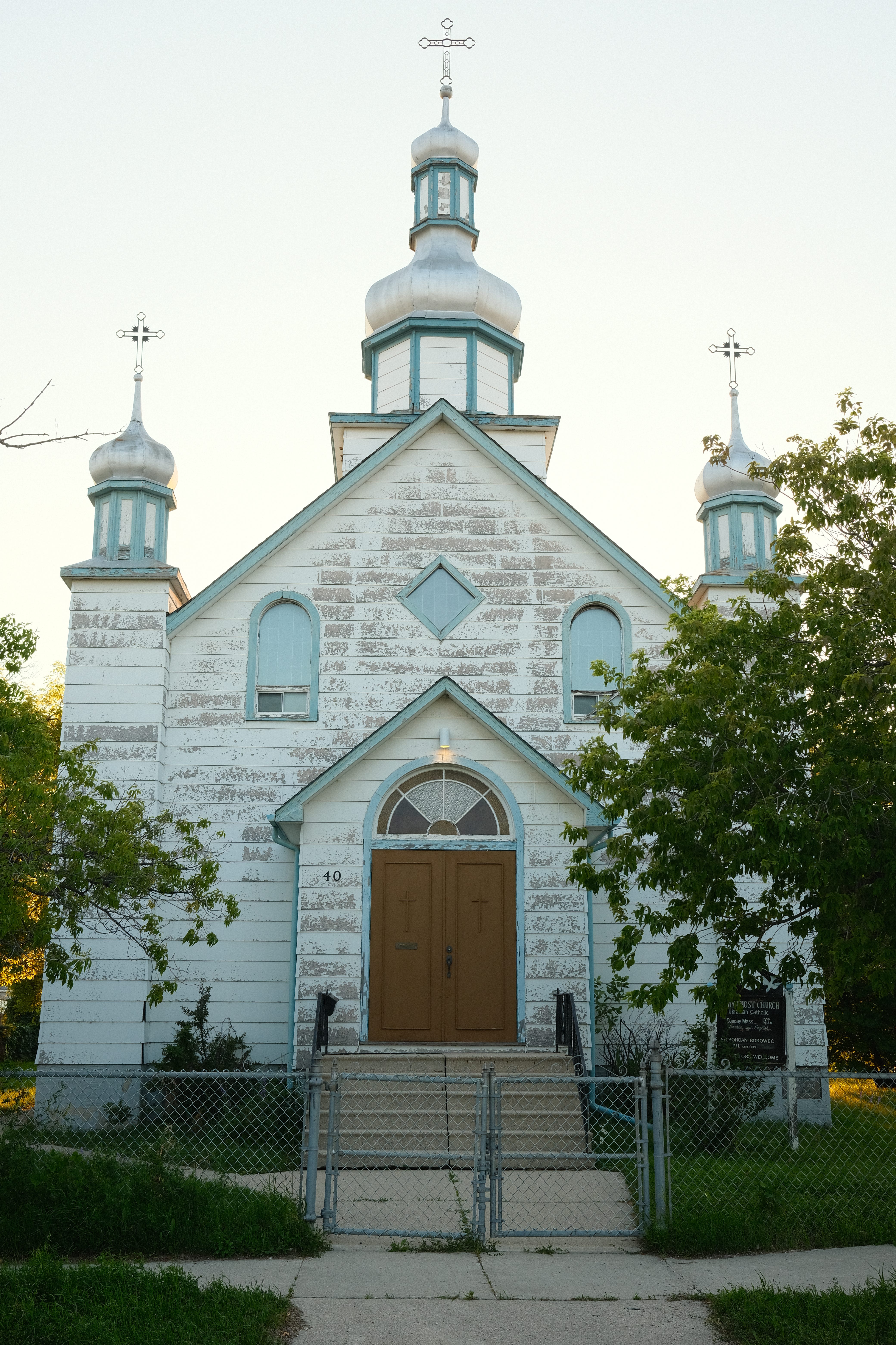
Another non-residence/third space spot I found was the Holy Ghost Church Ukrainian Catholic church. According to its website, the church was started in 1931 by Ukrainian pioneers, all 10 of them.
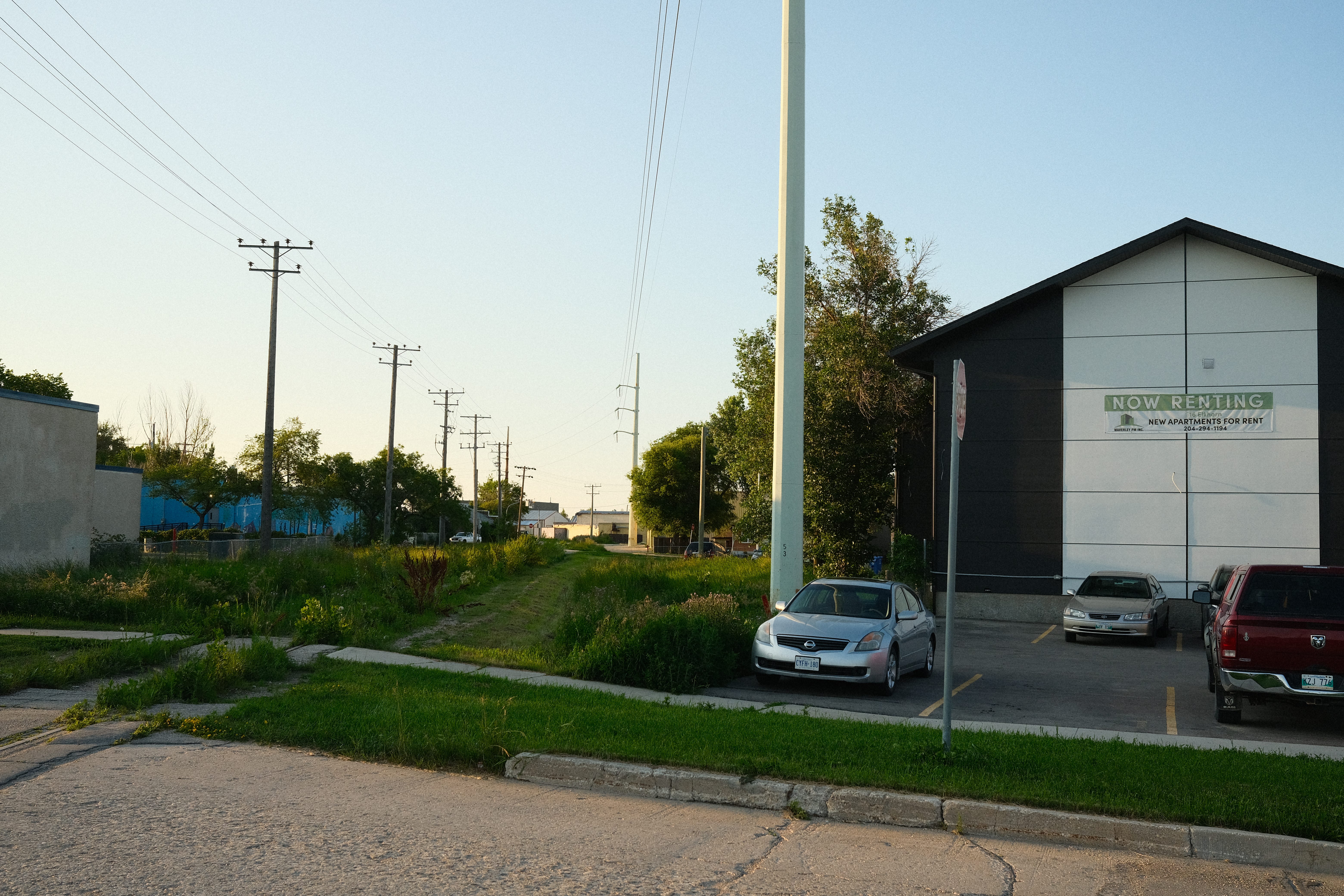
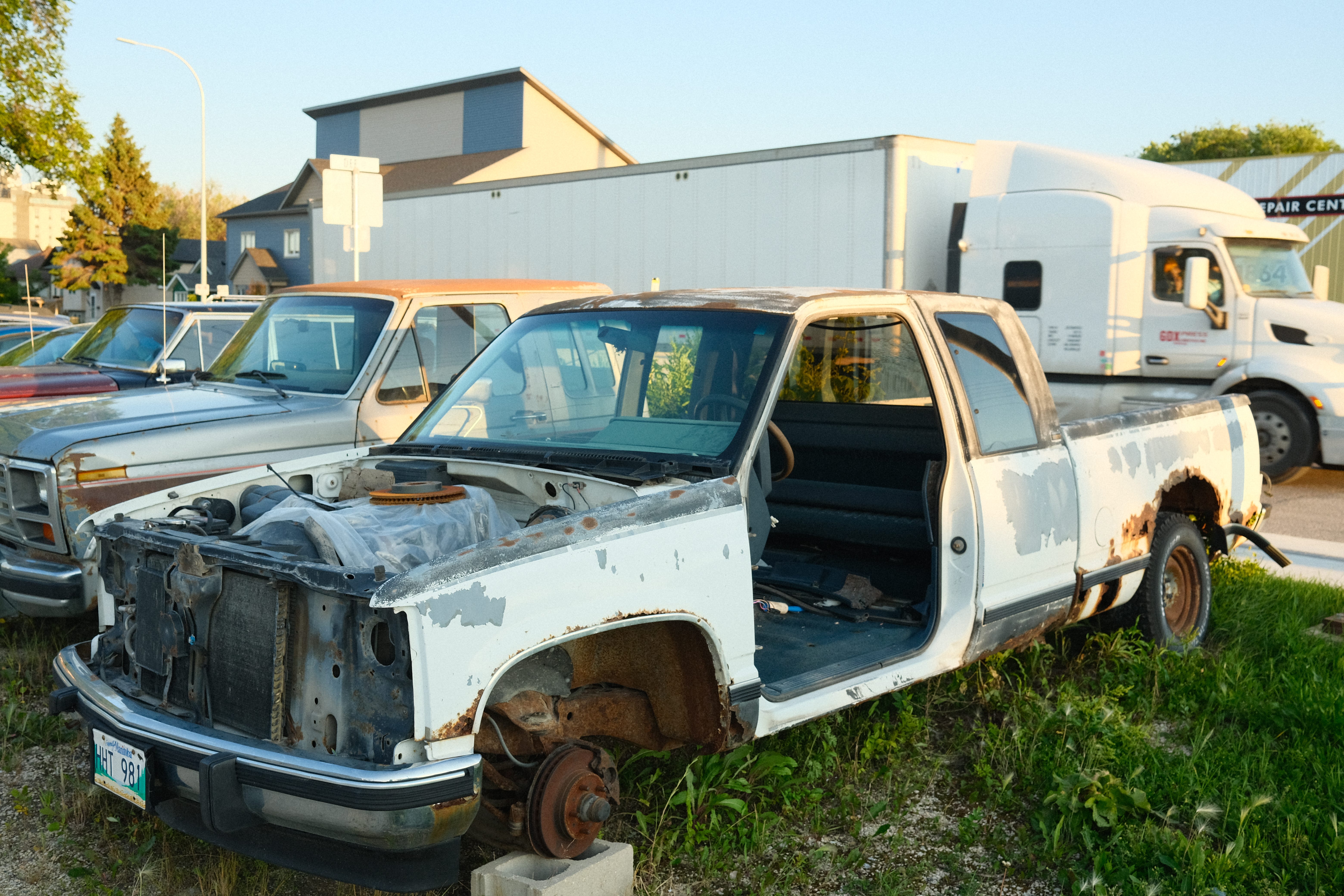
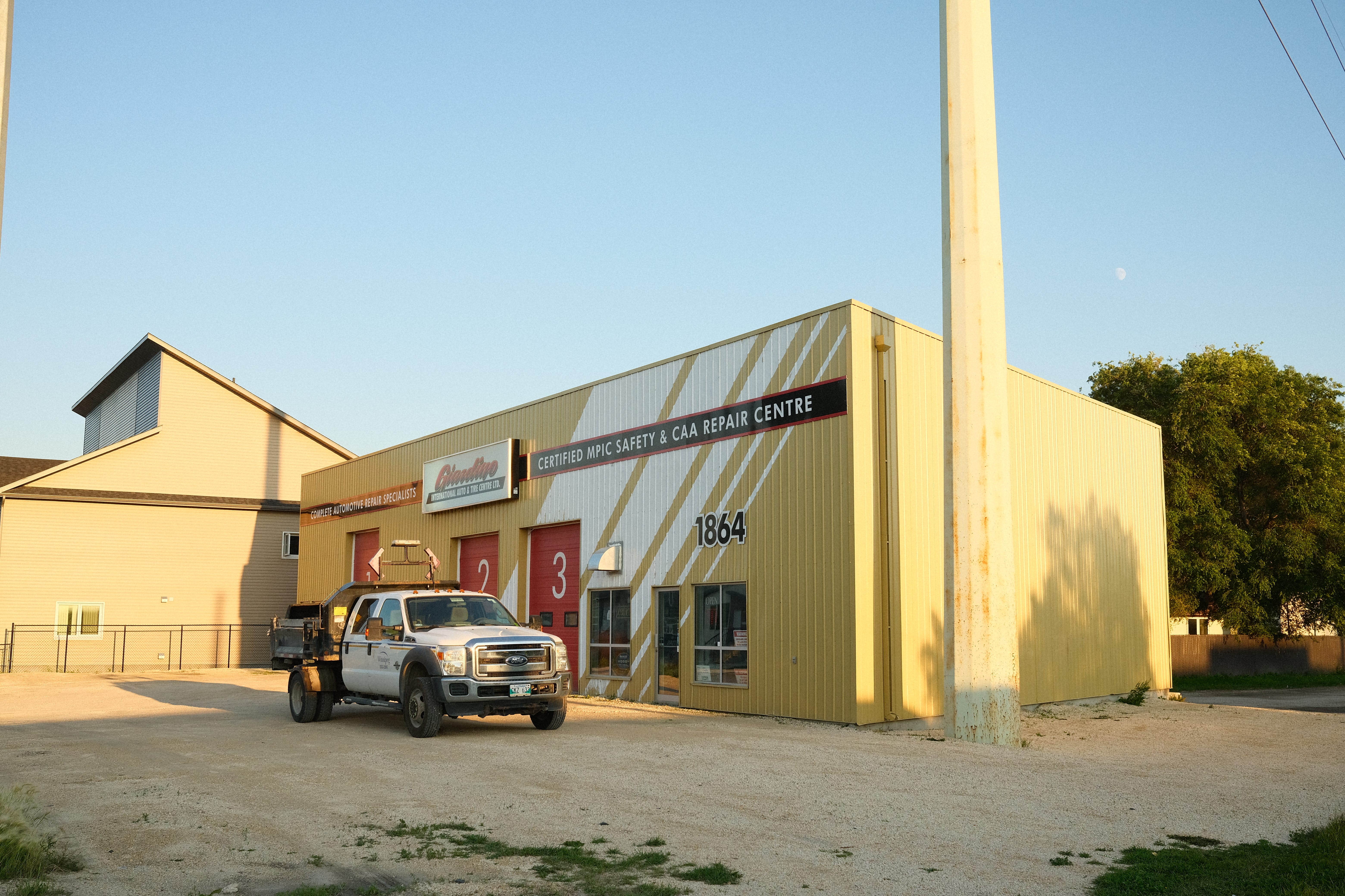
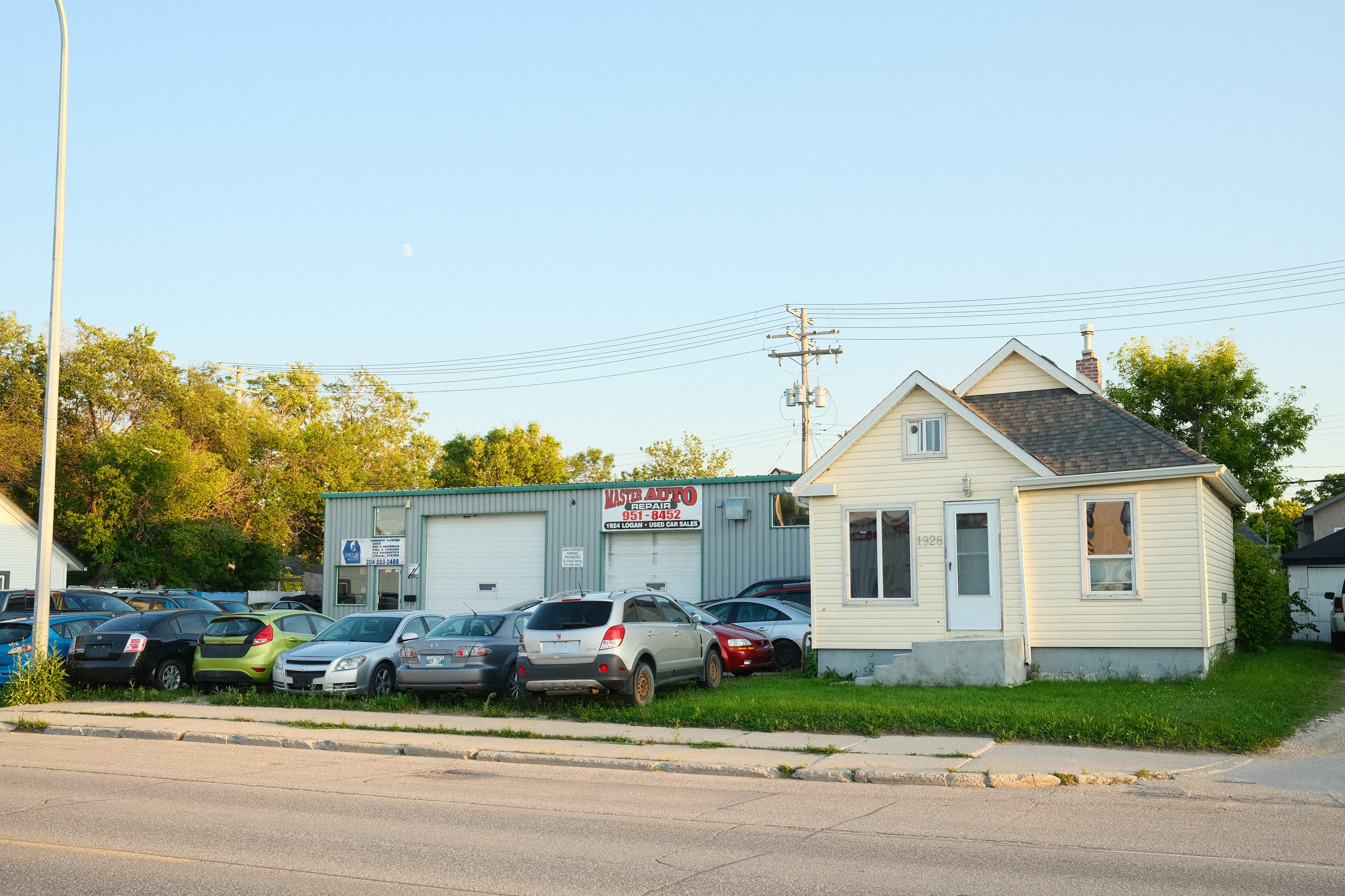
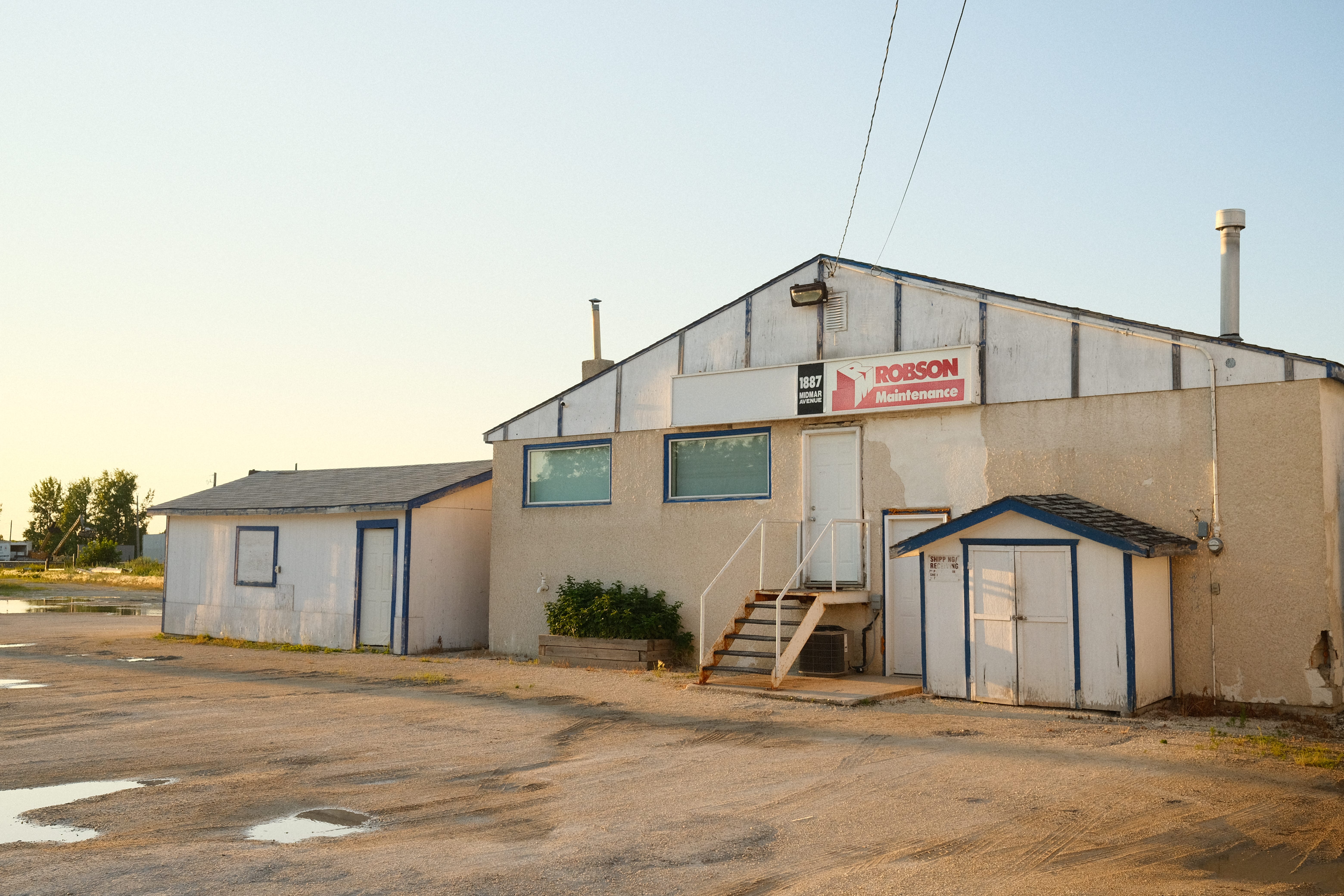
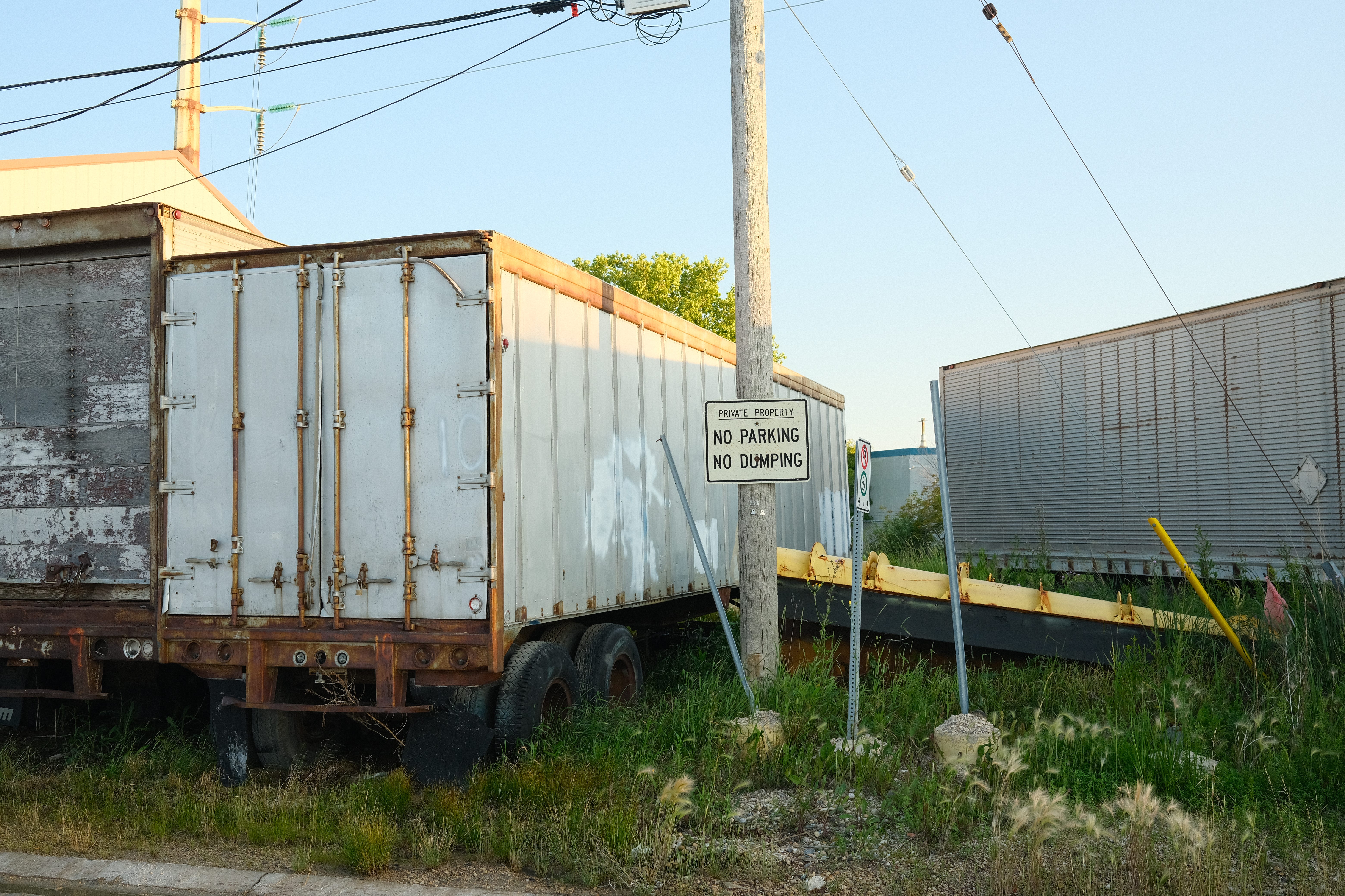
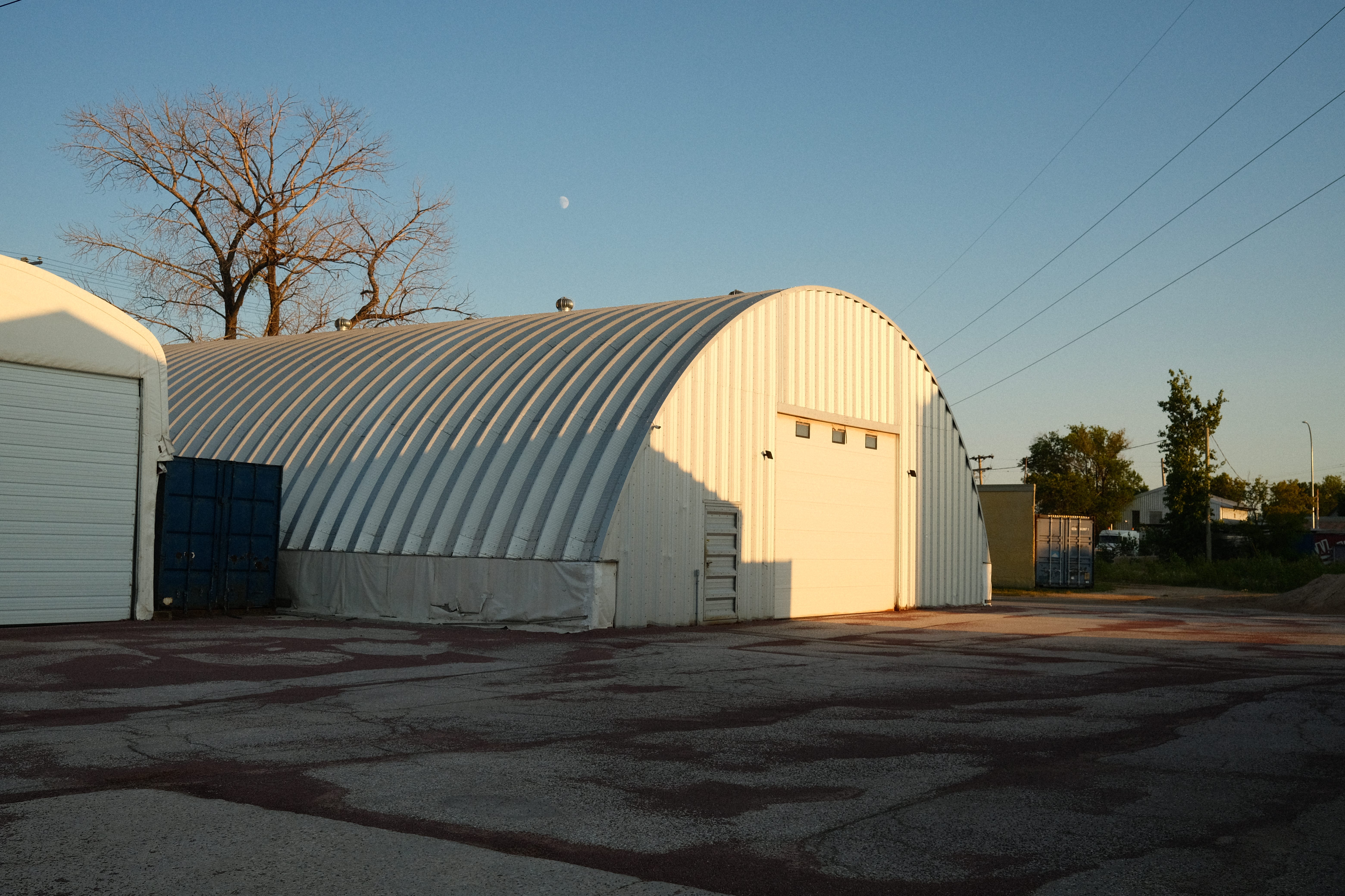
As I moved farther north, I came upon Logan Ave, a street that I am used to seeing in downtown Winnipeg but it actually extends all the way out to Brooklands! A strip of automative shops are huddled around there and I notice that the northwestern part of the neighbourhood is definitely feeling a lot more industrial.
Well that’s all for this little neighbourhood! If you made it this far thank you so much! See you in another post in another part of the Winnipeg!
http://www.mhs.mb.ca/docs/municipalities/brooklands.shtml
Great start! Looking forward to seeing/reading more!
Stumbled upon this project randomly. Amazing work. I am super excited to hear about some areas that I frequently bike through and love.