


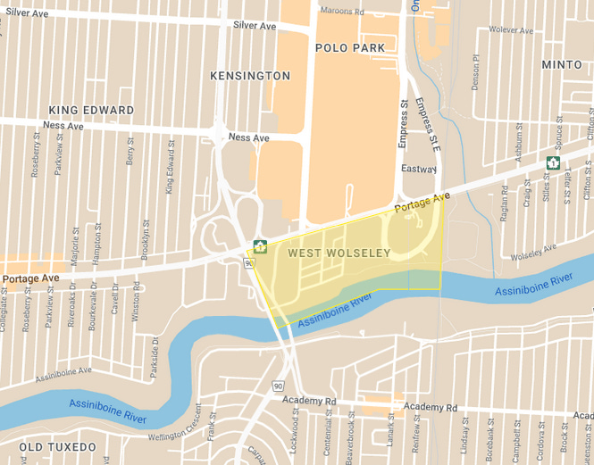
West Wolseley
Churches, Crossings, and The Paddock Coffee Bar


Quick housekeeping: West Wolseley was one of the first neighbourhoods I visited for this project almost a year ago. I delayed publishing it, as my vision for this neighbourhood project and what each of these posts would contain, only solidified later. I thought I might want to walk through the neighbourhood again and take more photos, however, I’ve decided to publish the post and images as they are.
West Wolseley. Sounds more like a name that Winnipeg real estate agents come up with to make the area seem more desirable (I’m looking at you, “North Wolseley”). Perhaps it was, but either way, the name is official now. At least official to the city.
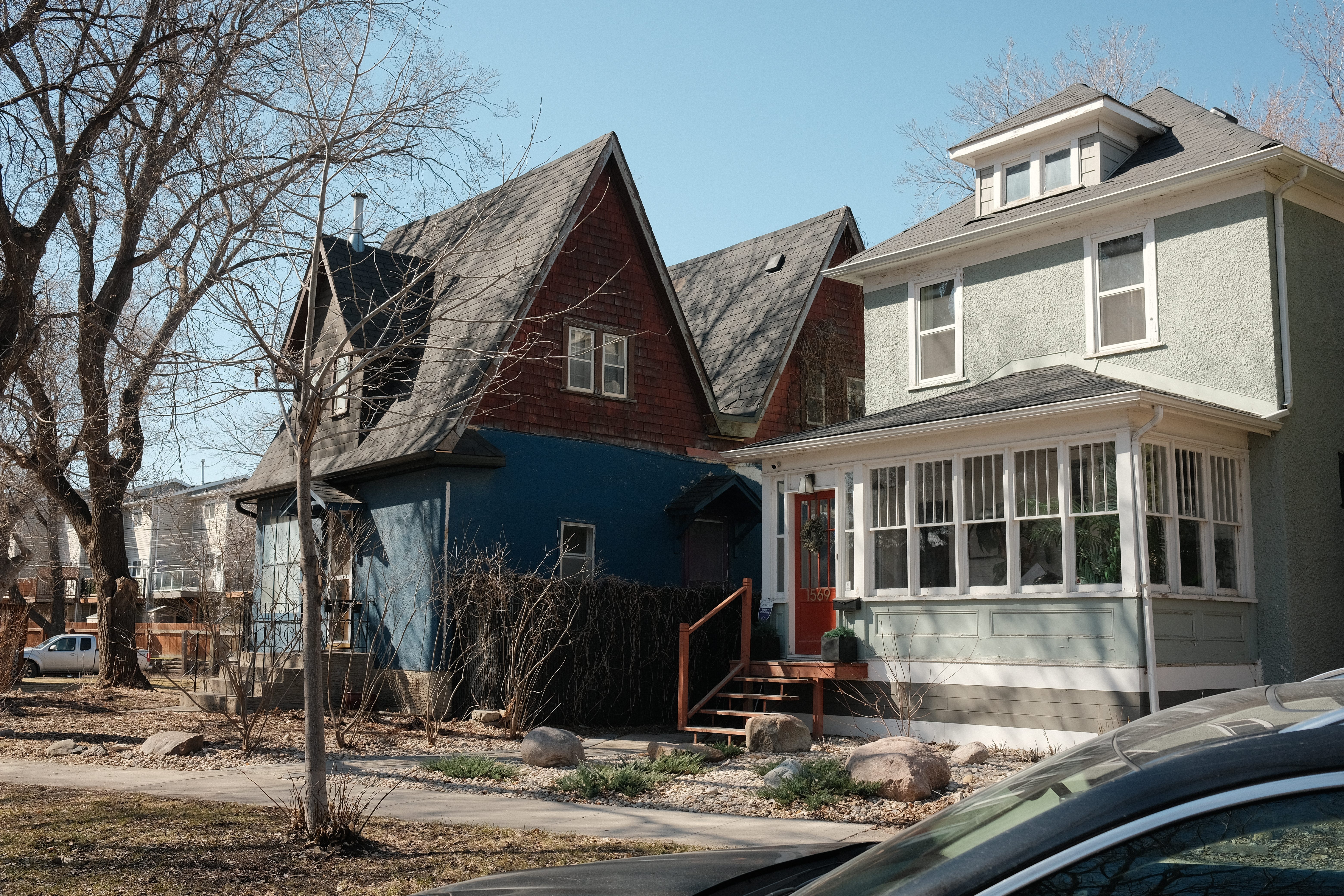
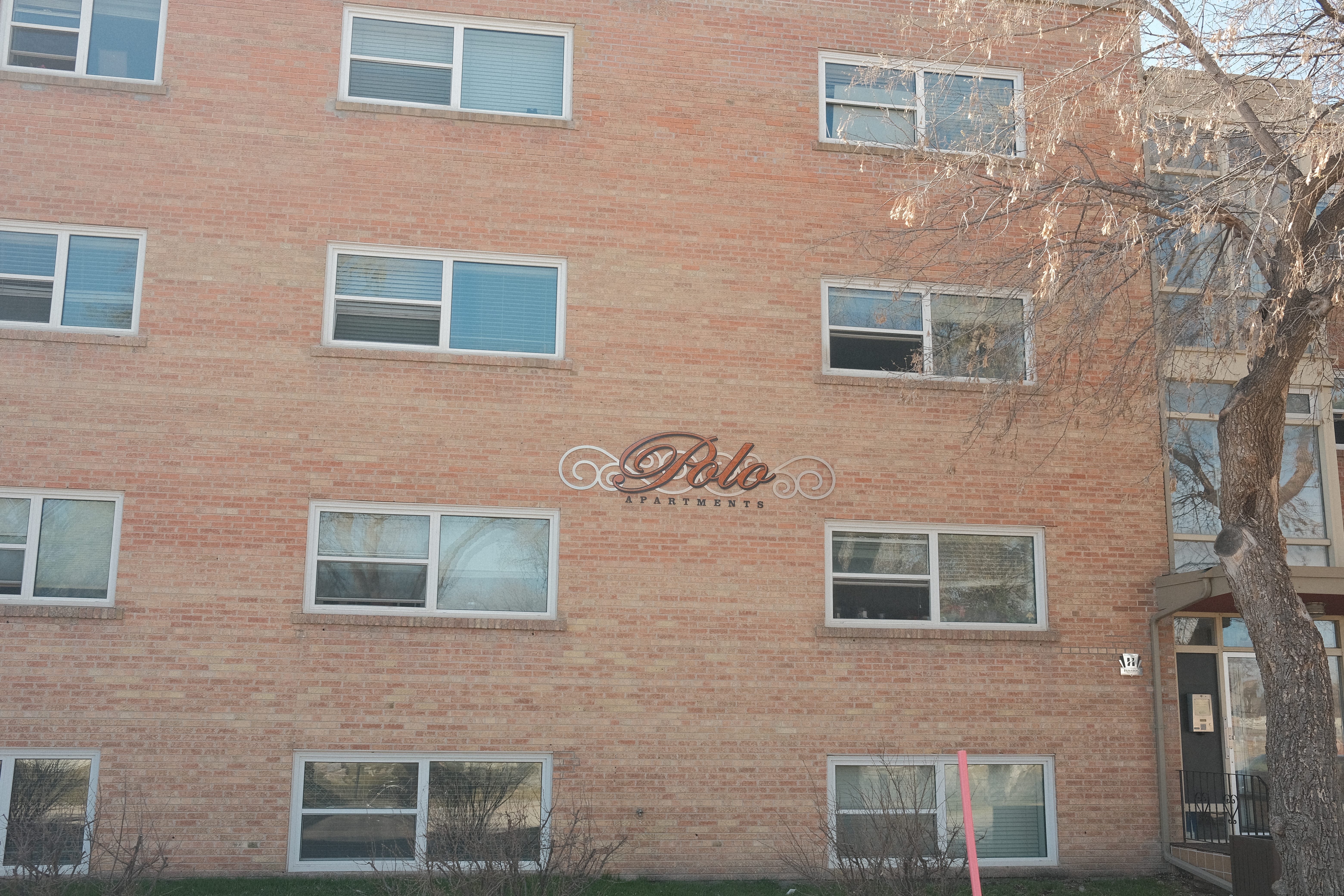
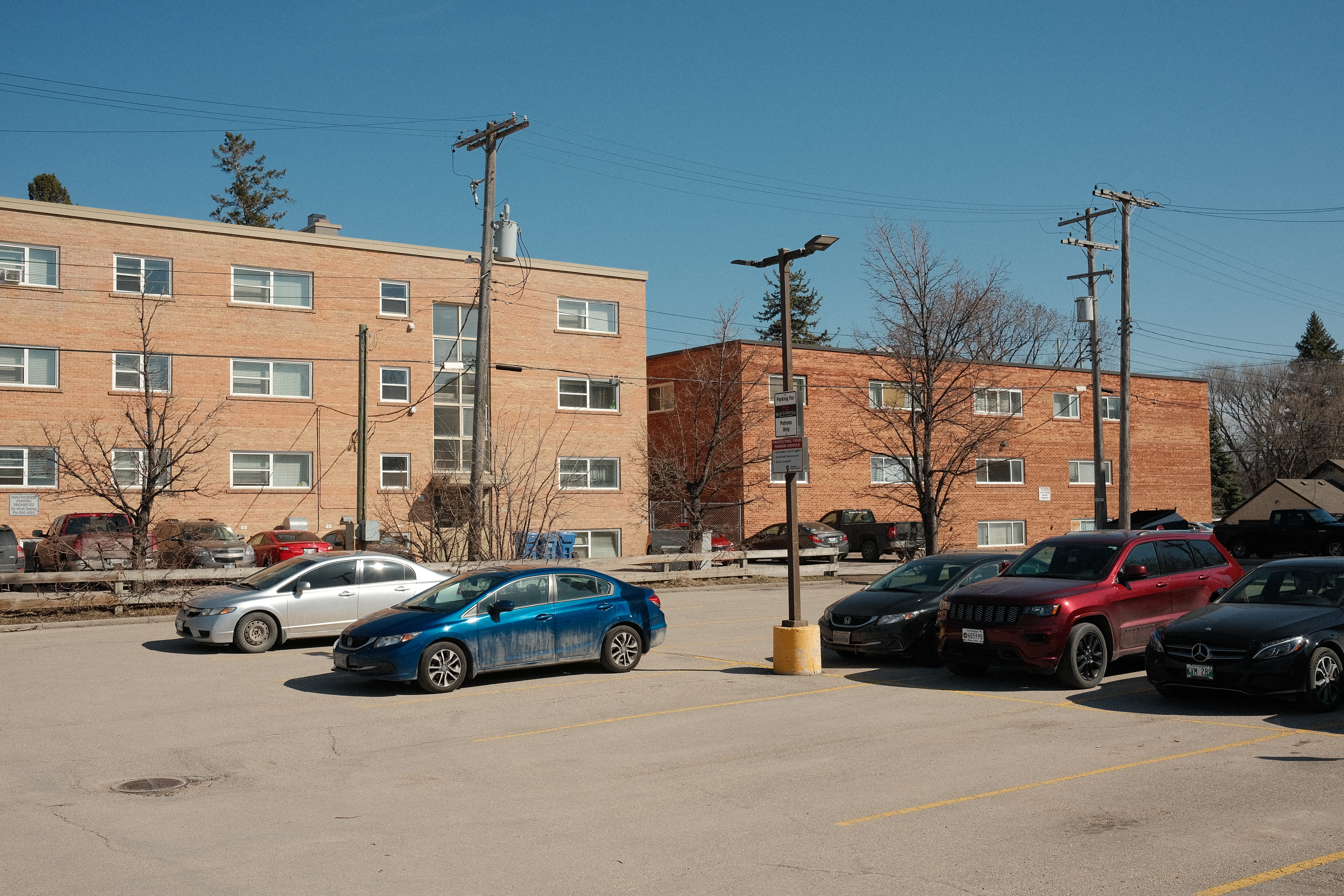
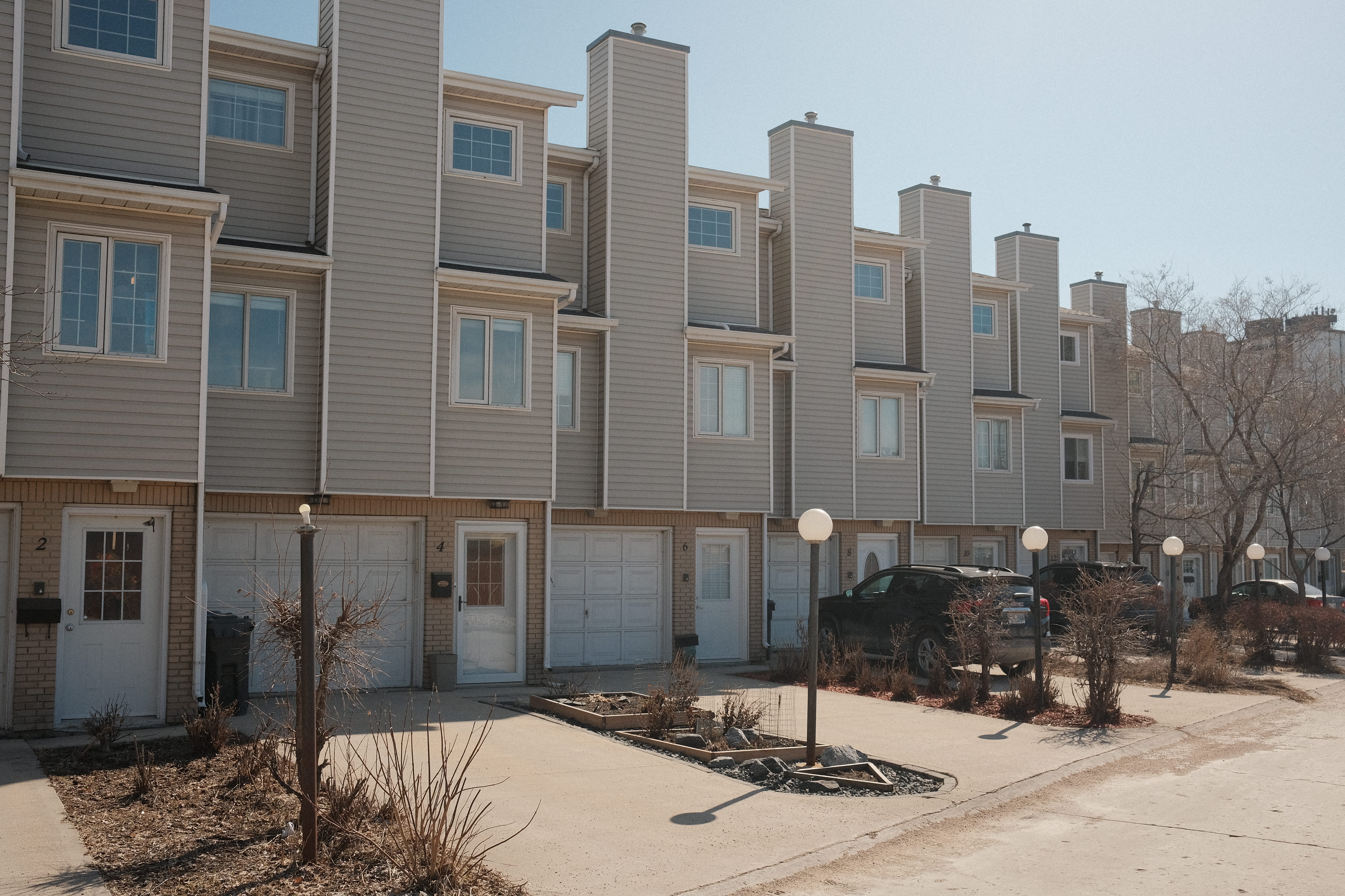
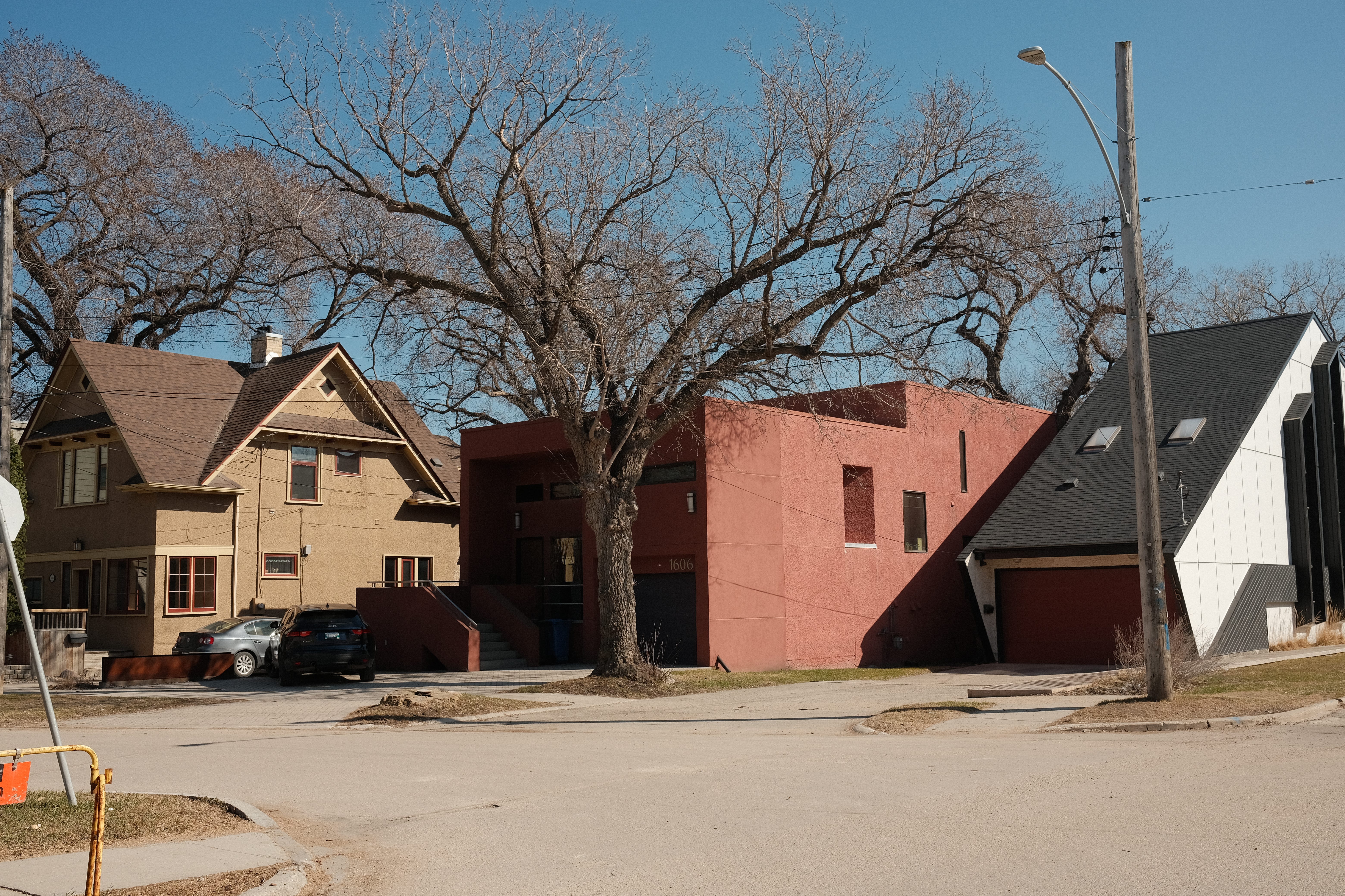
There are a couple of turn-of-the-century houses that nod to the “Wolseley” aesthetic. However, the eclectic mix of townhouses, apartment buildings, and an old wooden church with its cemetery, make the area feel distinctly different.
The northern boundary marker is Portage Ave, and the Assiniboine River makes up the southern boundary. Route 90 acts as its western boundary with the rail line that passes by Empress Street, crossing over Portage at its eastern edge.
History
Churches
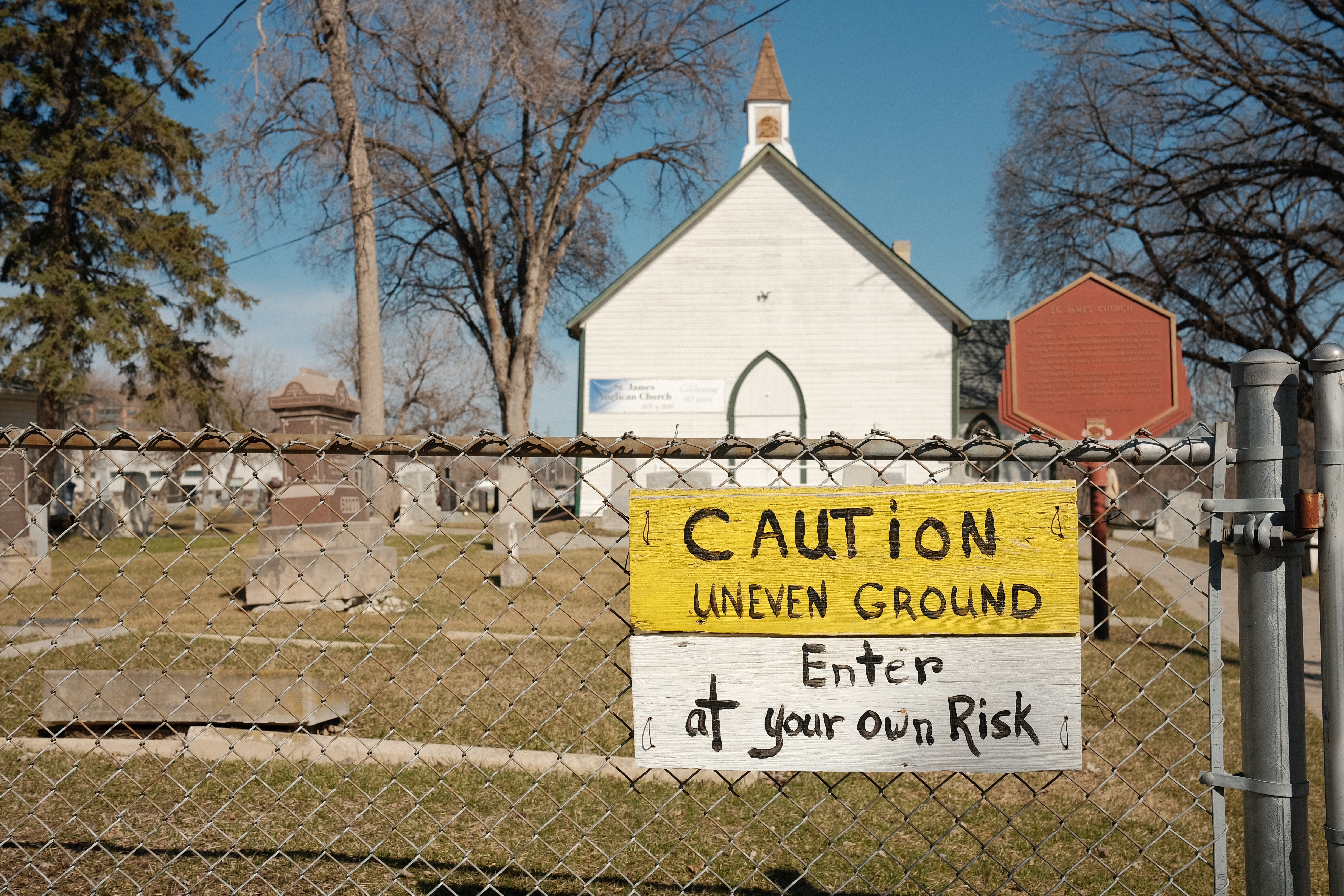
While the village of Winnipeg was incorporated into a city in 1873, the West Wolseley area continued being part of the Parish of St. James, as it had been for several decades prior. The area that made up the neighbourhood of West Wolseley held the parish’s namesake, the St. James Anglican Church. Located in the centre of West Wolseley and just off of Portage Avenue, the church is one of the oldest wooden churches in Western Canada still in use, holding regular services during the summer months.1
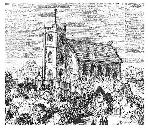
The church was built in 1851 on a spot along the Assiniboine River with a higher elevation to help in times of floods. During the initial decade after construction, the congregation had a population of 100-200 people, compared to the parish population of 500, which included European and French Canadian settlers, as well as Cree, Saulteaux, and Métis inhabitants.2
The land surrounding the church would eventually be filled with the graves of the locals of the parish as well as prominent Winnipeg figures. Writing in the Winnipeg Free Press, Kevin Rollason described the past he encountered while strolling through the cemetery.
Many of the headstones are a who’s who of St. James. They include names that are now used for streets, schools and buildings, including Inkster, Bruce, Pinkham, Chapman and Fidler.
But there are also babies — so many babies. There were likely many tears shed in the several pockets reserved in the cemetery for clusters of young children. Small headstones, either flush on the ground or rising up from the grass, mark where the children, either at birth or just a few months or years into their lives, were buried.3
Crossings
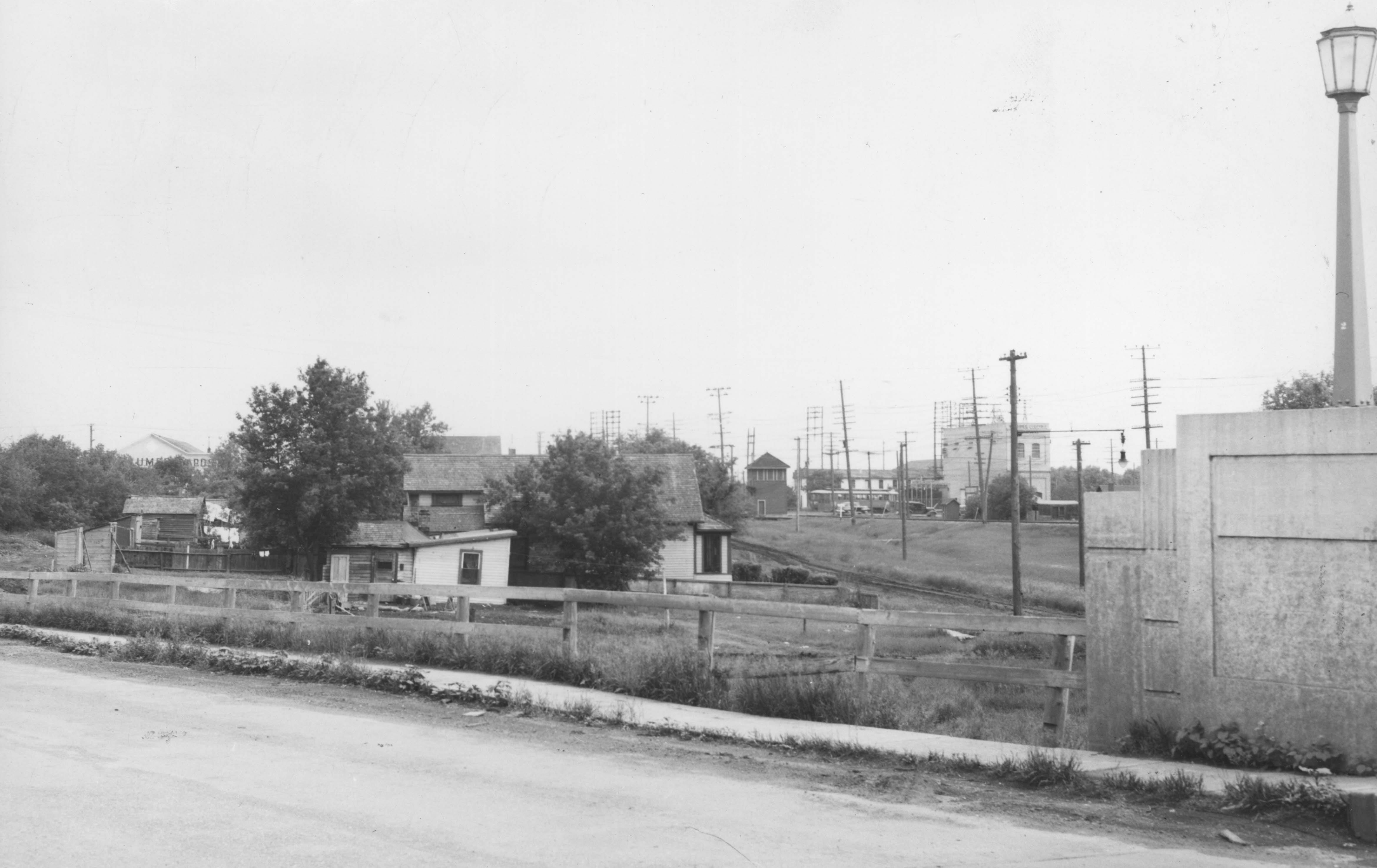
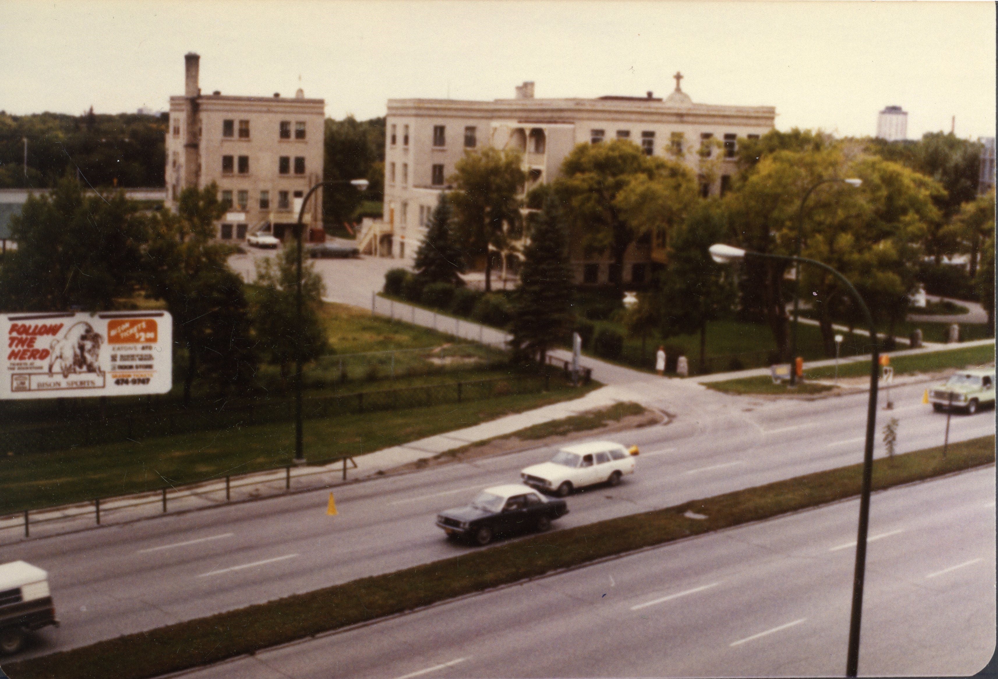
In 1882, West Wolseley was absorbed into Winnipeg, becoming the outskirts of the, still distant, expanding city. In the first decade of the 20th century, the streetcar line running down Portage Avenue was extended to the area. The current-day residential patch just west of the St. James church’s property started to form with turn-of-the-century houses being built and street names such as Tylehurst, Richmond, and Kintrye appearing on maps of the area.
Meanwhile, the Sisters of Charity (Grey nuns) outgrew their facilities in downtown Winnipeg. In 1907, they moved and opened St. Joseph’s Orphanage located at 1476 Portage Avenue, just east of the grounds of St. James Anglican Church.

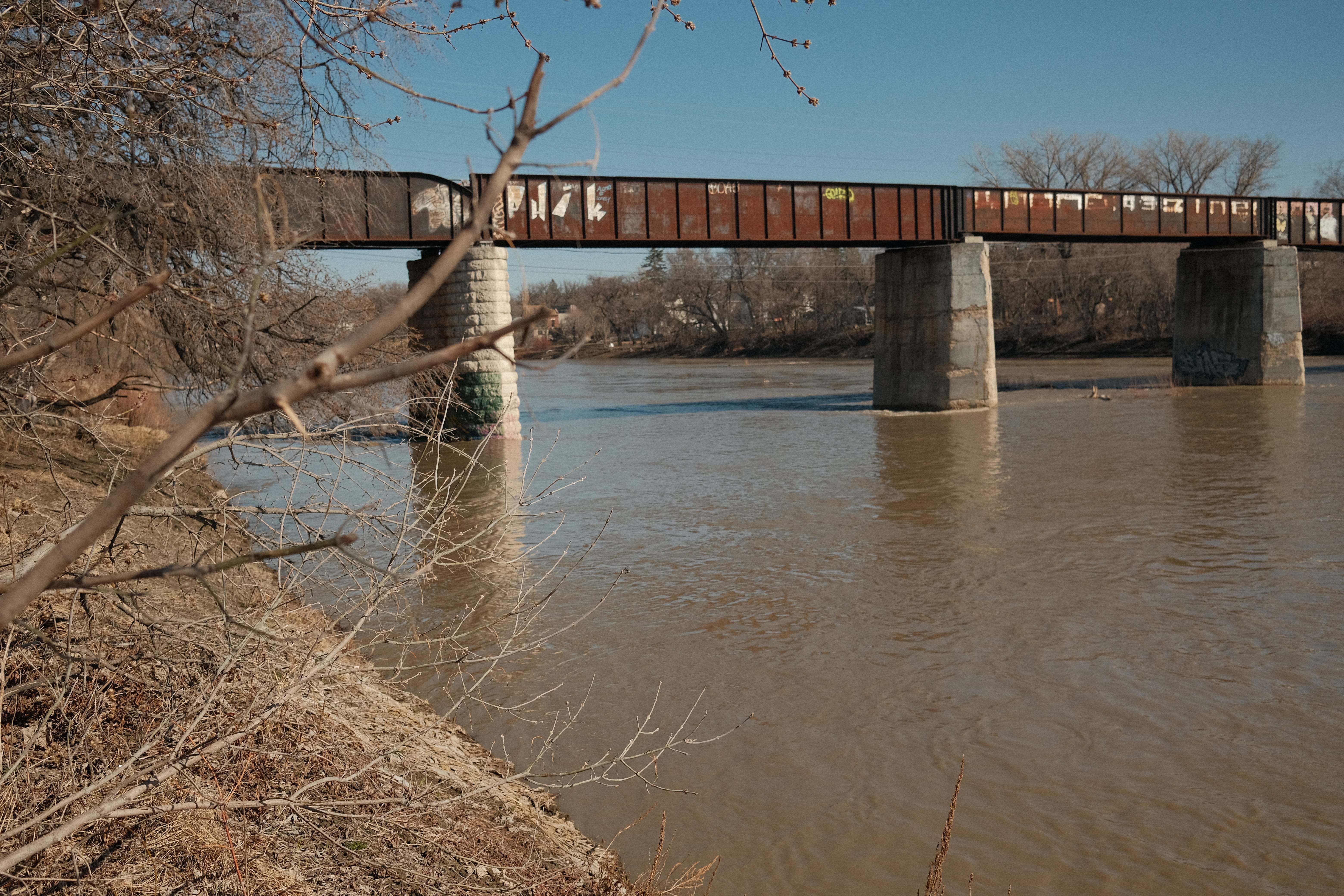
Access to the area, which had been primarily Portage Avenue and the Assiniboine River, expanded in 1908 with the building of the Canadian Northern Railway (CNR) bridge across the Assiniboine River, connecting the Tuxedo area south of the river.
The train bridge was part of the CNR’s Oak Point subdivision. Later on, this railway would be further expanded to run as far north as Gypsumville, Manitoba.

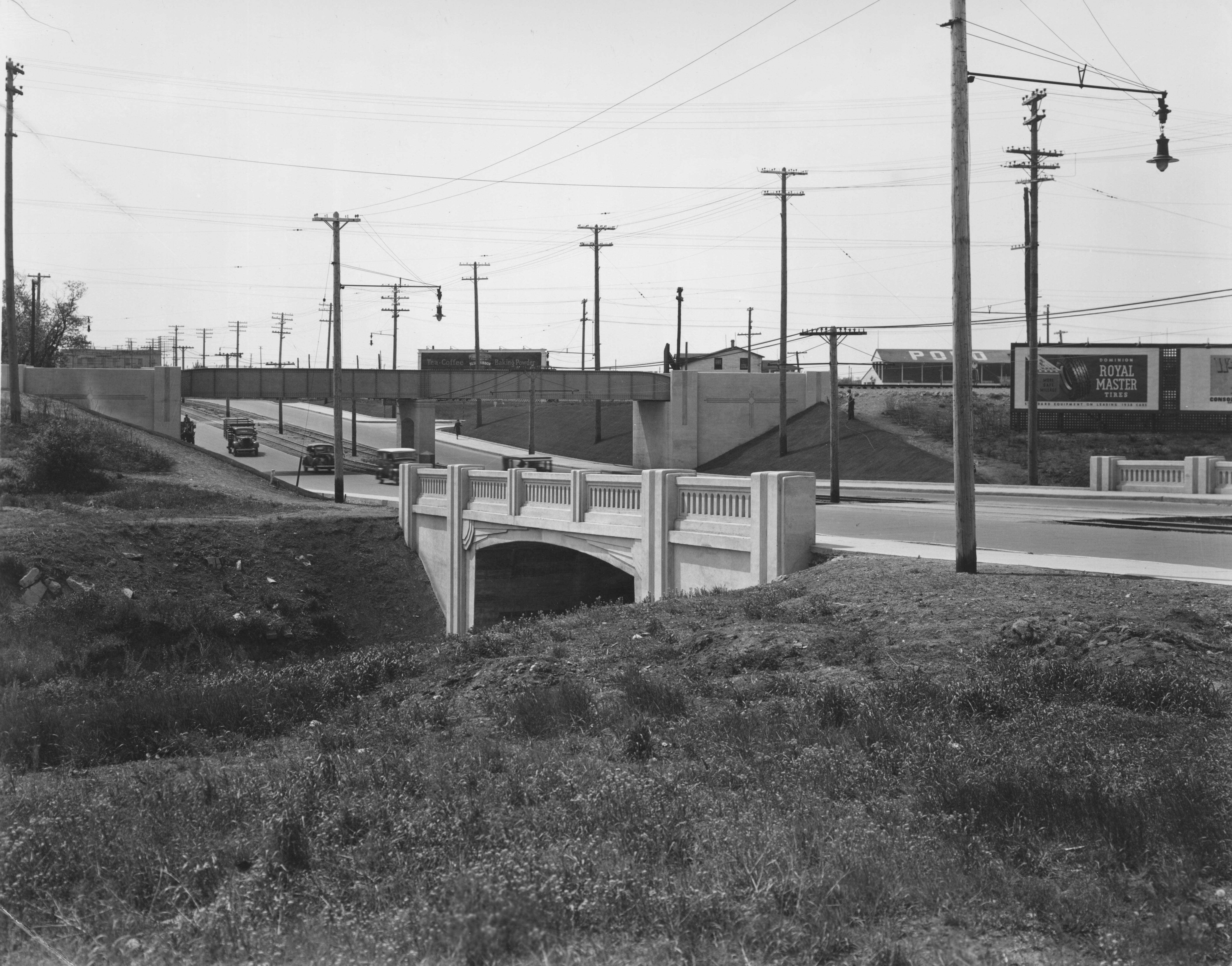
Despite the CNR Bridge being exclusive to travel by rail, this new access point was used vigorously by pedestrians, causing safety concerns. The Polo Park Racetrack (horse racing) would open in 1925 across from West Wolseley, on the north side of Portage Ave, bringing in even more traffic and activity to the area. The St. James bridge, which ran right beside the C.N.R. bridge, was built in 1935.4
On the very east side of West Wolseley, the Portage Avenue Subway5 was constructed between 1936 and 1937.


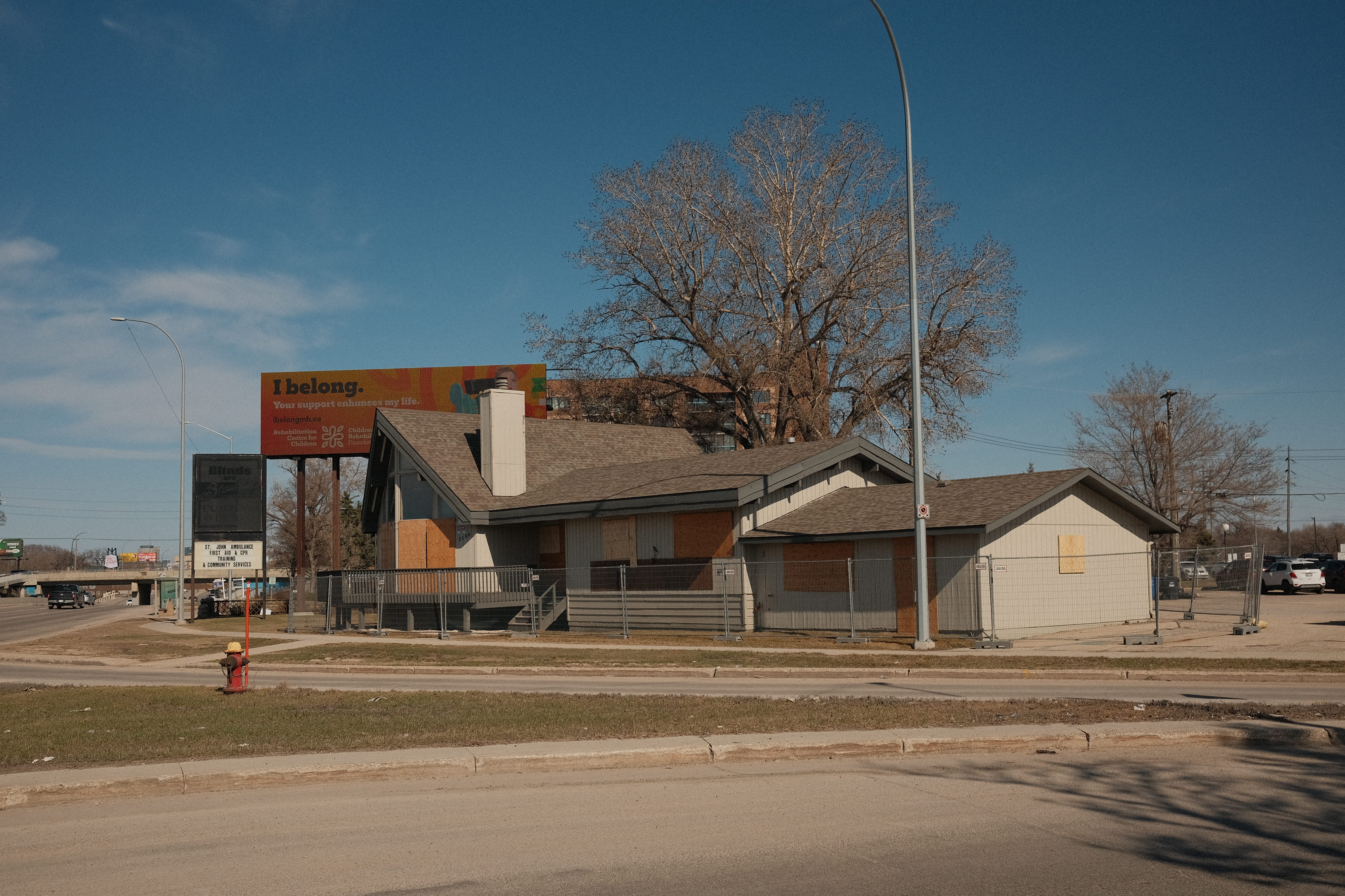
The Paddock
Winnipeg gambling baron Stan Zedd, who had made a name for himself in the 40s and 50s, wanted to build a restaurant based on a Californian establishment he had visited. He started building a restaurant at 1540 Portage, but after running into financial trouble, brought in other investors who ended up buying him out and opening it in 1952.6 Amongst these investors was the eventual sole owner of the restaurant, Parry Orestes. His son Mel would join him, later becoming the owner himself.7

In writing on Mel Oreste’s life, Bill Redekop, in the Winnipeg Free Press, described the particular aesthetics that made Paddock such a unique restaurant.
The Paddock was racetrack-themed with the main dining room called the Turf Room. The upstairs banquet room was the Winner’s Circle, the cocktail bar was called the Starting Gate Lounge and the ground floor coffee shop was the Horseshoe Coffee Bar.”8
It was also the first restaurant in the city with a parking lot.9

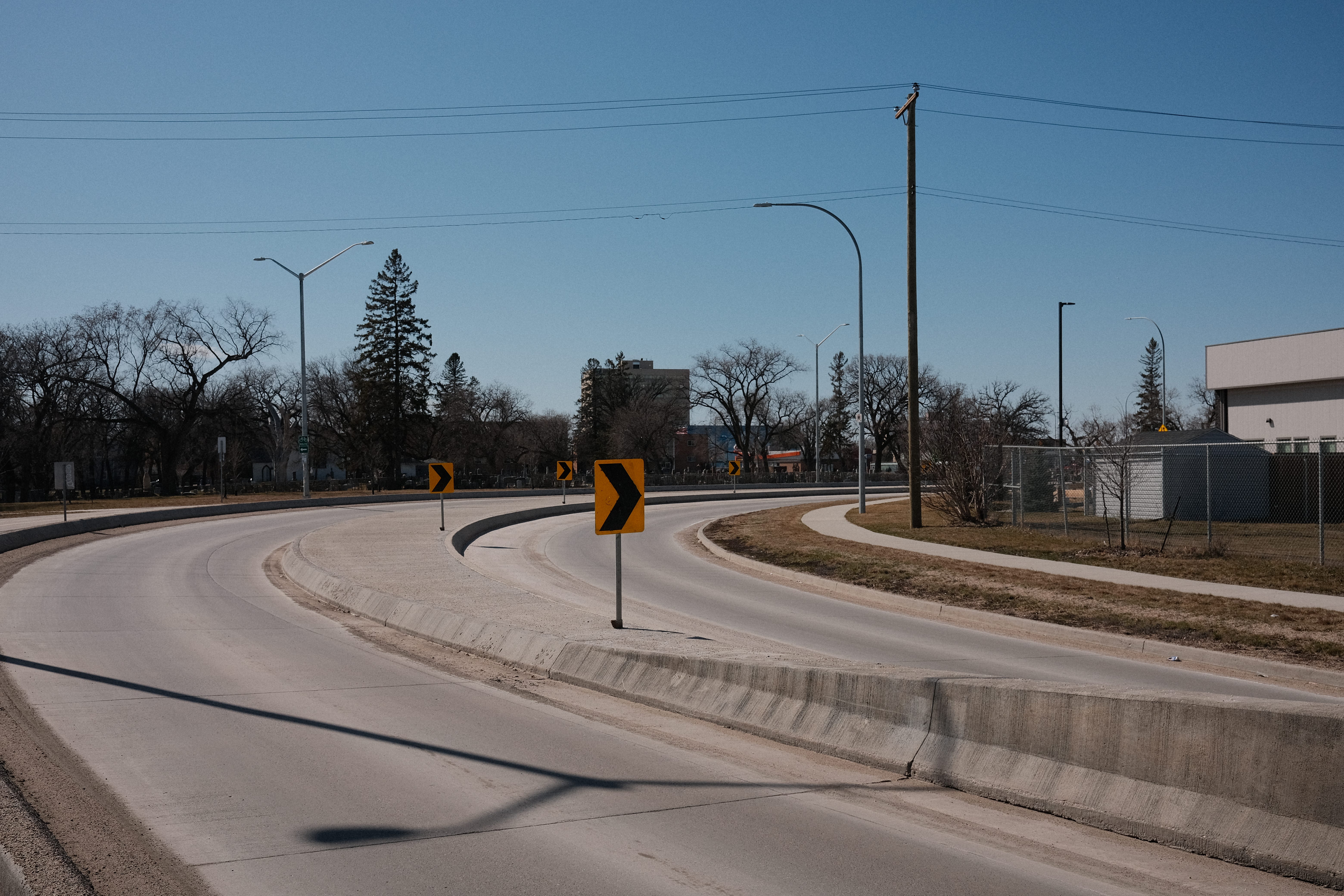
The Polo Park racetracks moved to Assiniboia Downs in 1956, with the former Polo Park grounds becoming the Polo Park Mall, opening in 1959. That same year, and probably partly due to all of the new mall traffic (this was the heyday of the automobile), the Empress Street overpass was built. This extended Empress south over Portage, looping around the St. Joseph’s vocational school grounds (formerly St. Joseph’s orphanage), connecting onto Doreen Street (see Map 2) and allowing motorists to quickly exit onto Portage. Trying to create a partial cloverleaf interchange and merging into a formerly quiet dead-end street, caused the Empress overpass loop to be a bit askew and have a particularly sharp corner.

Despite the loss of the racetrack from the area, the Paddock continued on as an institution. Marylou Driedger, who worked there in the 1970s described how:
The Paddock’s coffee shop, however, remained a popular hangout for racing fans. They’d come in for breakfast and slip into one of the booths underneath the large bay windows that looked out onto busy Portage Avenue.
Over endless cups of coffee and breakfast specials, the racing fans would share information about the day’s races and which horses looked promising.
Once they had visited the track they’d drop back in for dessert or a late bite and discuss their wins and losses. If the gentlemen had a good day at the betting window it usually meant I’d get a bigger tip.10
The Paddock would close down in 1985 and the building was demolished in 1988.11
St. Joseph’s Vocational School closed in 1979 and its buildings were demolished in 1979.
St. Joseph’s Nursery, which had been operating within the school grounds since 1956, built a new daycare building on the same site at 1476 Portage, operating until the nursery closed down in 1992.12 This building currently houses the Winnipeg Conservatory of Music.

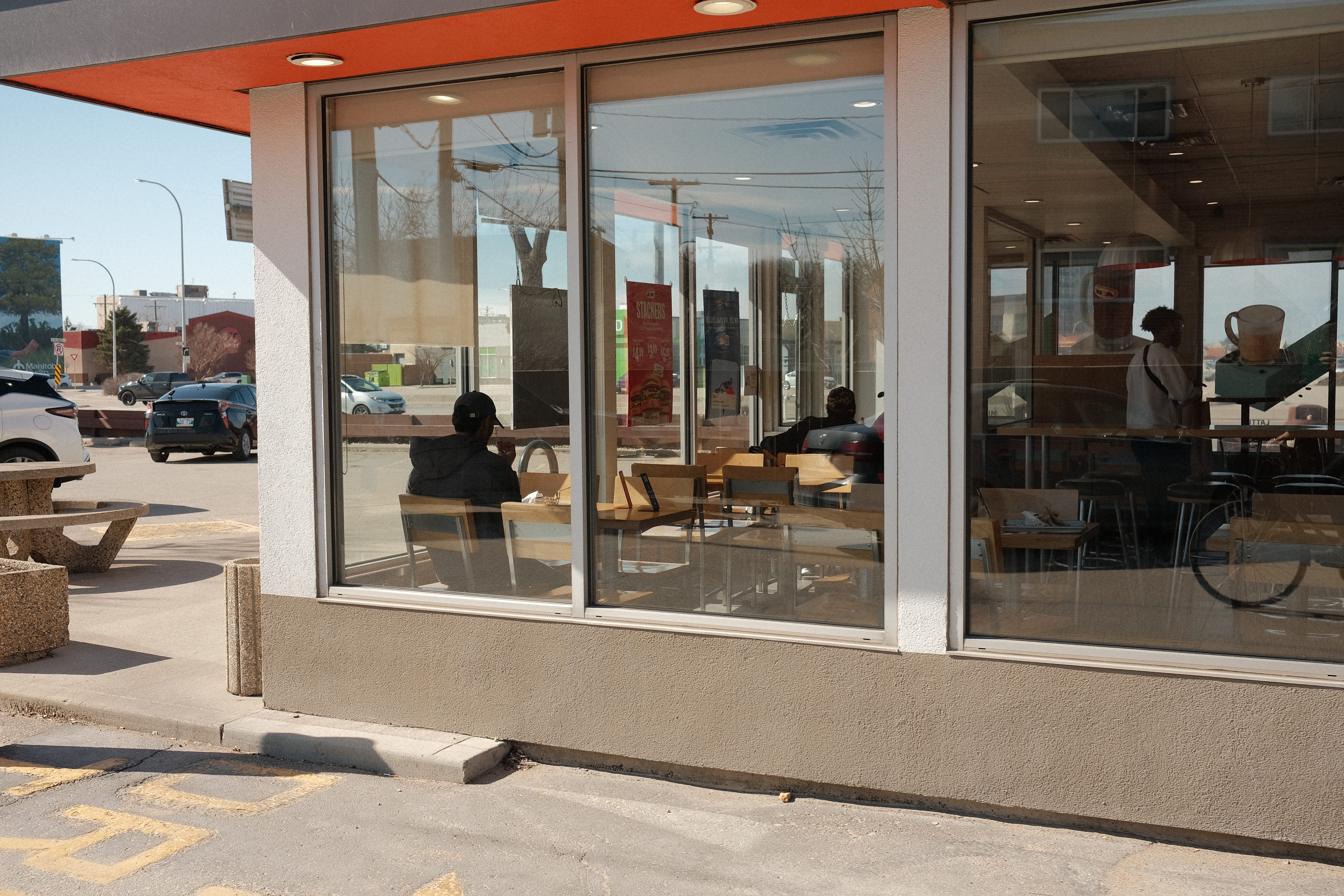
Photos and observations
(Sadly, no field recording.)
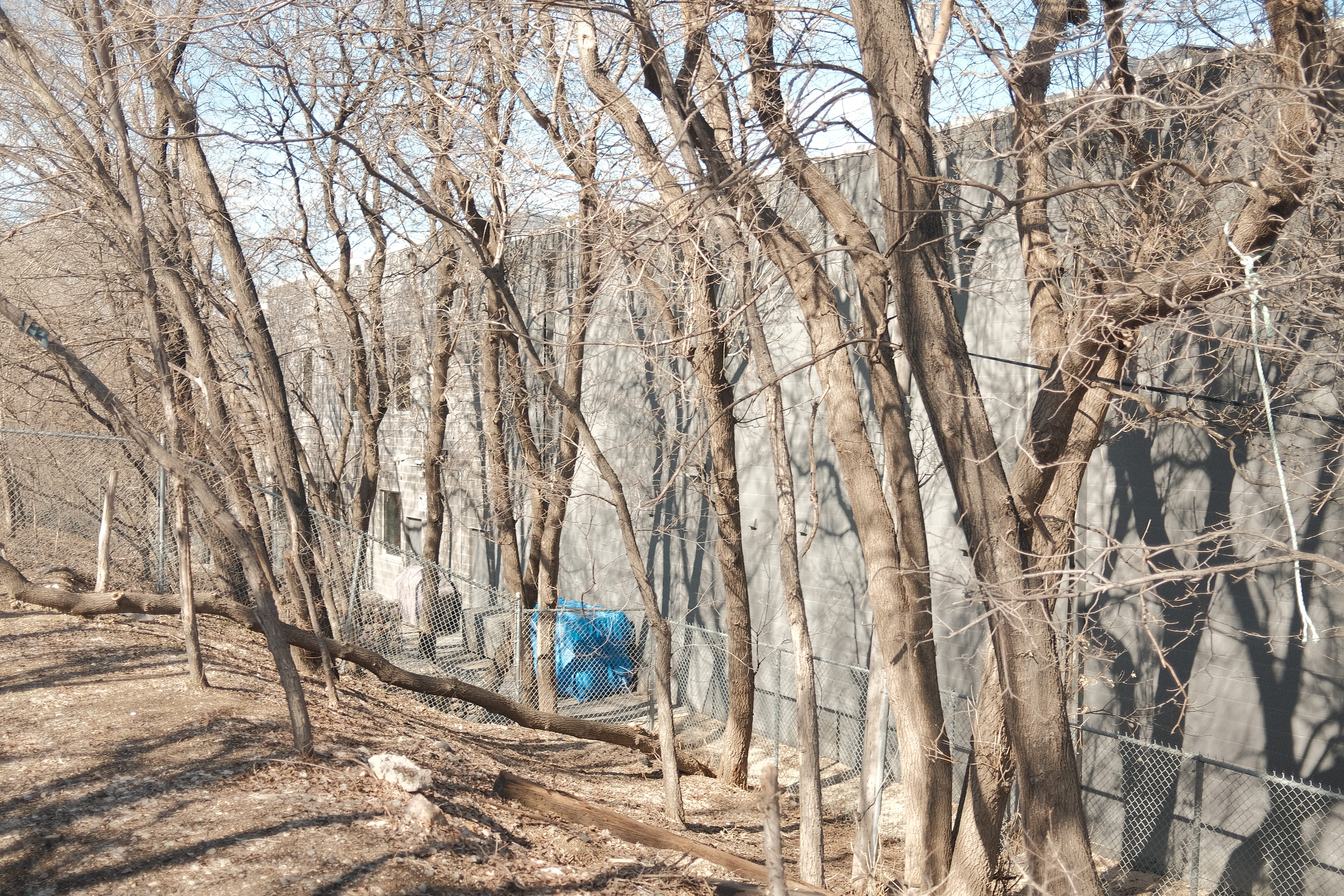
I started at the southeast corner by the active bike path that hugs the river and weaves behind St. James church and cemetery.
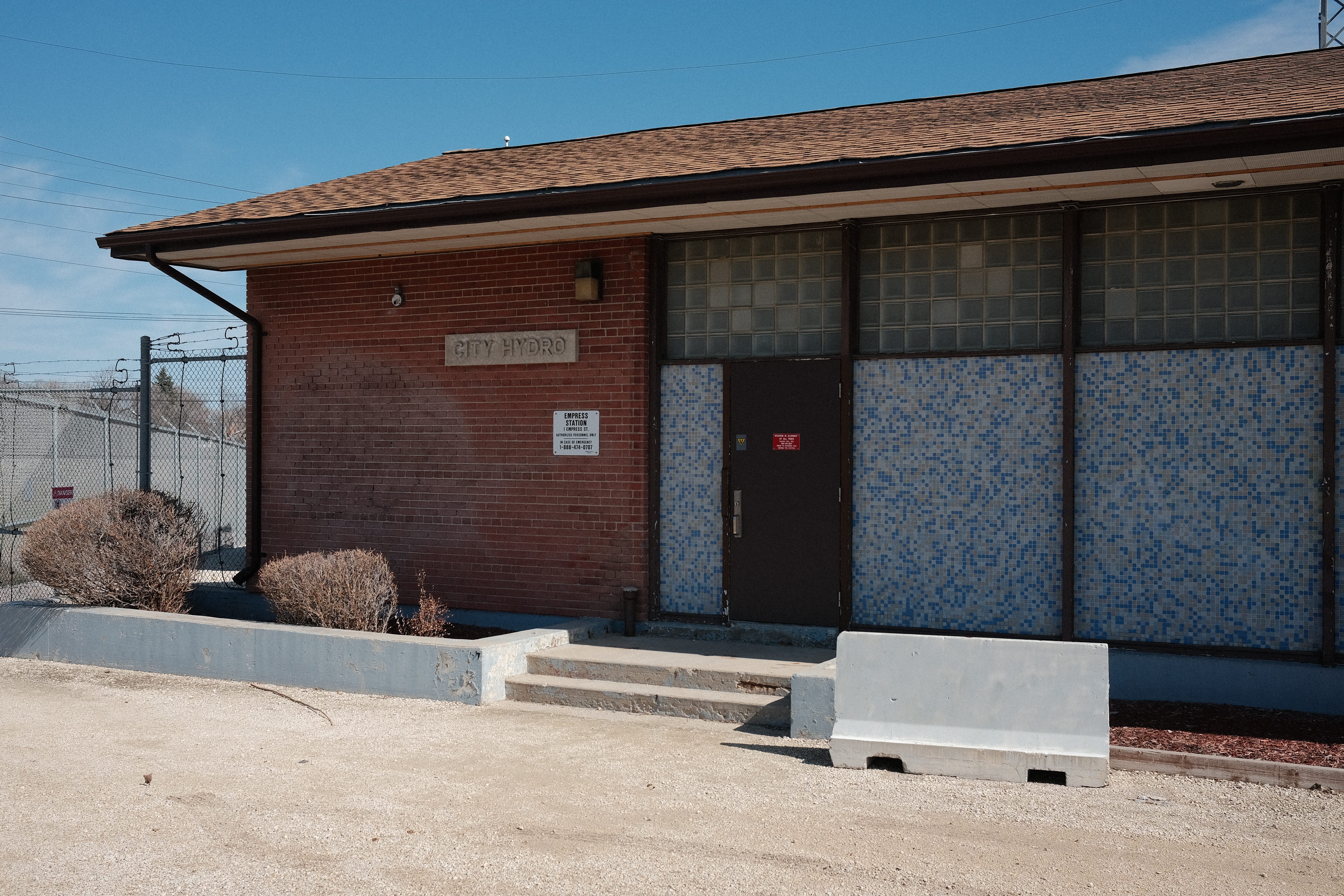
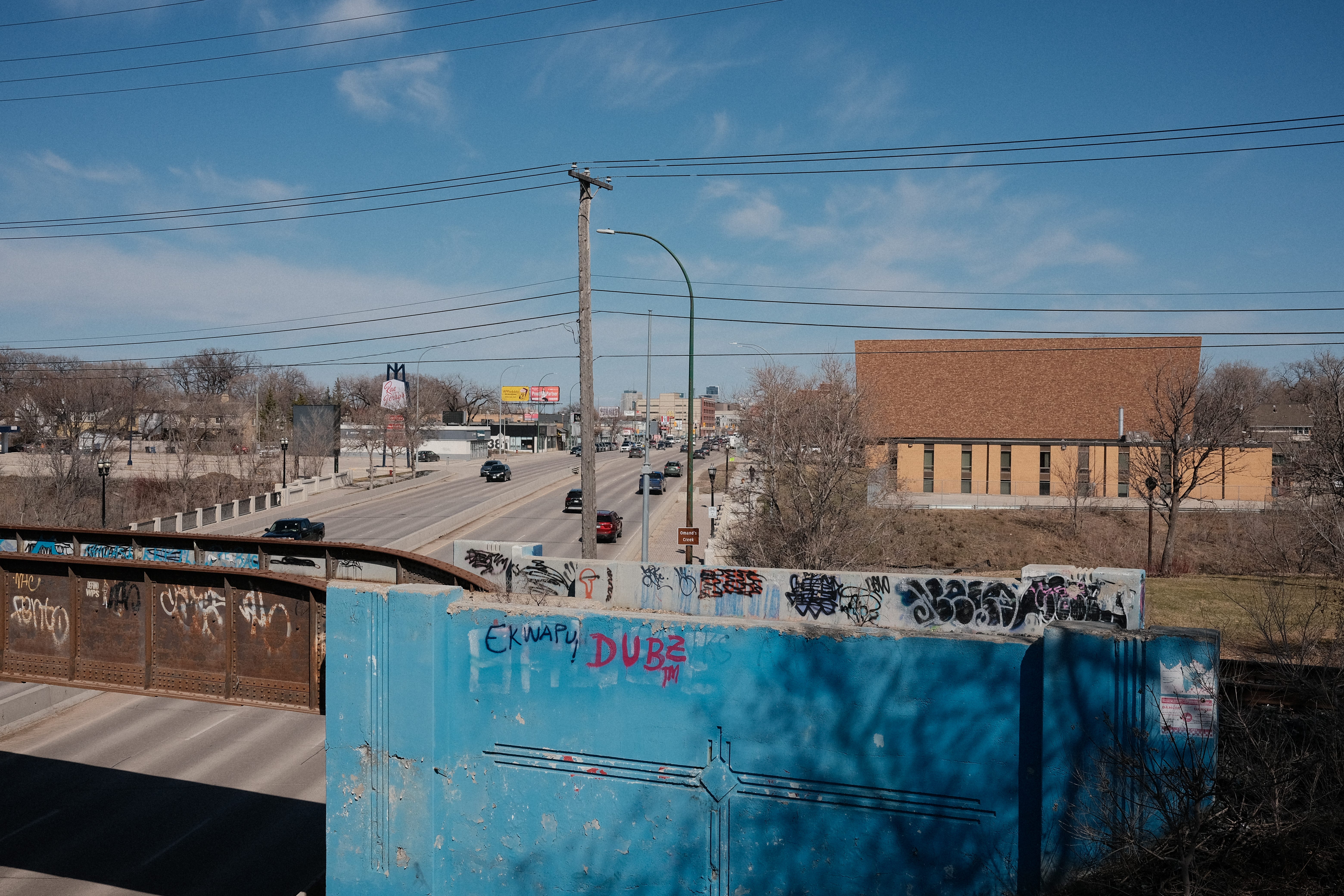

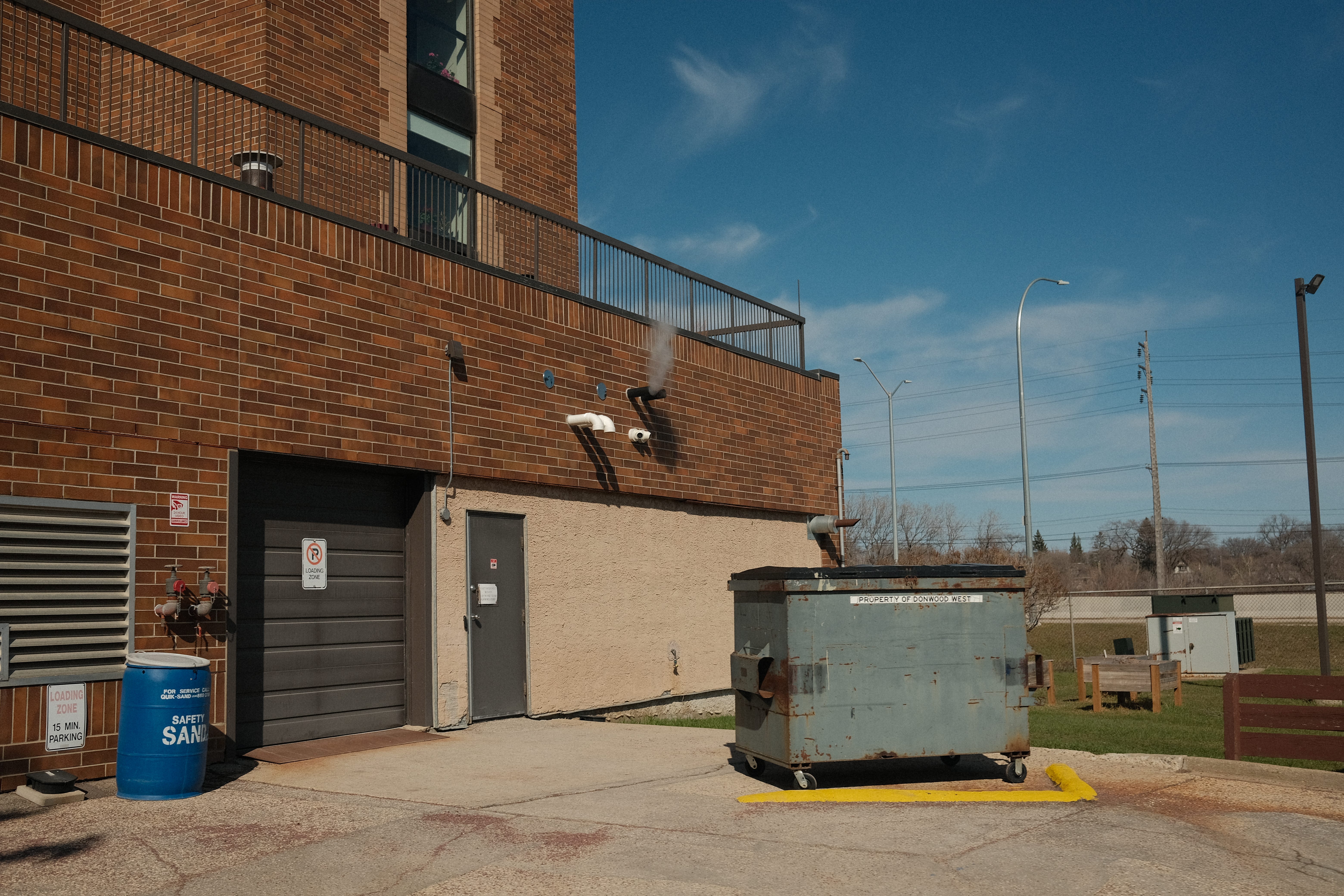
I weaved through a couple of residential streets on the west side of the area. It was a combination of old turn-of-the-century houses and postwar builds along with several apartment blocks and townhouses.
If you made it to the end, thanks so much for being here! It takes a lot of time and effort to research and get the photographs for these neighbourhood posts, so any support is appreciated. Whether that is sharing and emailing it to friends and family, subscribing, or buying me a coffee, it all helps! Thank you.
Additional neighbourhood factoids:
West Woseley was featured prominently in Propagandhi’s music video for “No Longer Young” off their most recent album. At around 40 seconds in, you can see band members walking through the St. James church cemetary grounds and also walking/biking along the bike path behind. Propagandhi is a renowned punk rock and metal band formed in Portage La Prairie and now based in Winnipeg.
Map 1: Hathaway, R. W., and J. K. Wright. Hathaway's Guide and Birds-Eye Map of Winnipeg. Map. Canada: R.W. Hathaway, 1911. https://www.flickr.com/photos/manitobamaps/2825450318.
Map 2: Metropolitan Planning Commission. Metropolitan Winnipeg Industrial Areas West Sheet [map]. 1:7,200. Winnipeg: Manitoba Dept. of Industry and Commerce, 1950. University of Manitoba Libraries Map Collection.
https://www.flickr.com/photos/manitobamaps/2131238236
According to their website. There is also a link to their YouTube channel with live-streamed services, giving you a glimpse of what the inside looks like.
Gerald Friesen. The Honourable John Norquay. Winnipeg: University of Manitoba Press, 2020, pp 22
Kevin Rollason. "St. James Cemetery a Who’s Who of Local History." Winnipeg Free Press, August 15, 2016, https://www.winnipegfreepress.com/breakingnews/2016/08/15/st-james-cemetery-a-whos-who-of-local-history.
For more info and history (including more photos!) on the St. James Bridge) Check out John Dobbin’s blog post on it.
A subway train bridge that runs over a road, also known as a viaduct or grade-separated crossing, is a structure that elevates the subway tracks above the road to ensure uninterrupted traffic flow.
Bill Redekop. "A Life's Story: Dedicated to Customers, Community." Winnipeg Free Press, December 15, 2018, passages.winnipegfreepress.com/article/id-45/Dedicated_to_customers,_community.
Declan Schroeder. "Time Travel: Recently Found Tourist Guide Offers a Glimpse at What Travellers — and Winnipeggers — Could Do in This City in 1958." Winnipeg Free Press, August 29, 2021, www.winnipegfreepress.com/featured/2021/08/29/time-travel-3.
Redekop, "A Life's Story."
Ibid.
Marylou Driedger. "I Worked at the Paddock Restaurant." What's Next?, March 1, 2012, maryloudriedger2.wordpress.com/2012/03/01/the-paddock-restaurant/.
Field of Dreams Brought It All in 1977 Polo Park Handicap. Assiniboia Downs, June 27, 2016, asdowns.com/field-of-dreams-brought-it-all-in-1977-polo-park-handicap/.
Winnipeg. Sisters of Providence of St. Vincent de Paul, providence.ca/our-story/history/missions/manitoba/winnipeg/.
Some fantastic photos here, Michael. I really enjoy these neighbourhood deep dives and learning a bit about the history of these places.
Very nice. It reminds me of all the times in my life I crossed over that bridge into Omand's Creek Park and when I have been shopping at Polo Park.