


Holden
A residential island in the middle of an industrial sea

Just when I thought you couldn’t go smaller, there’s Holden. I noticed the little rectangle of a neighbourhood as I was looking over the different industrial areas in east St. Boniface on Google Maps.
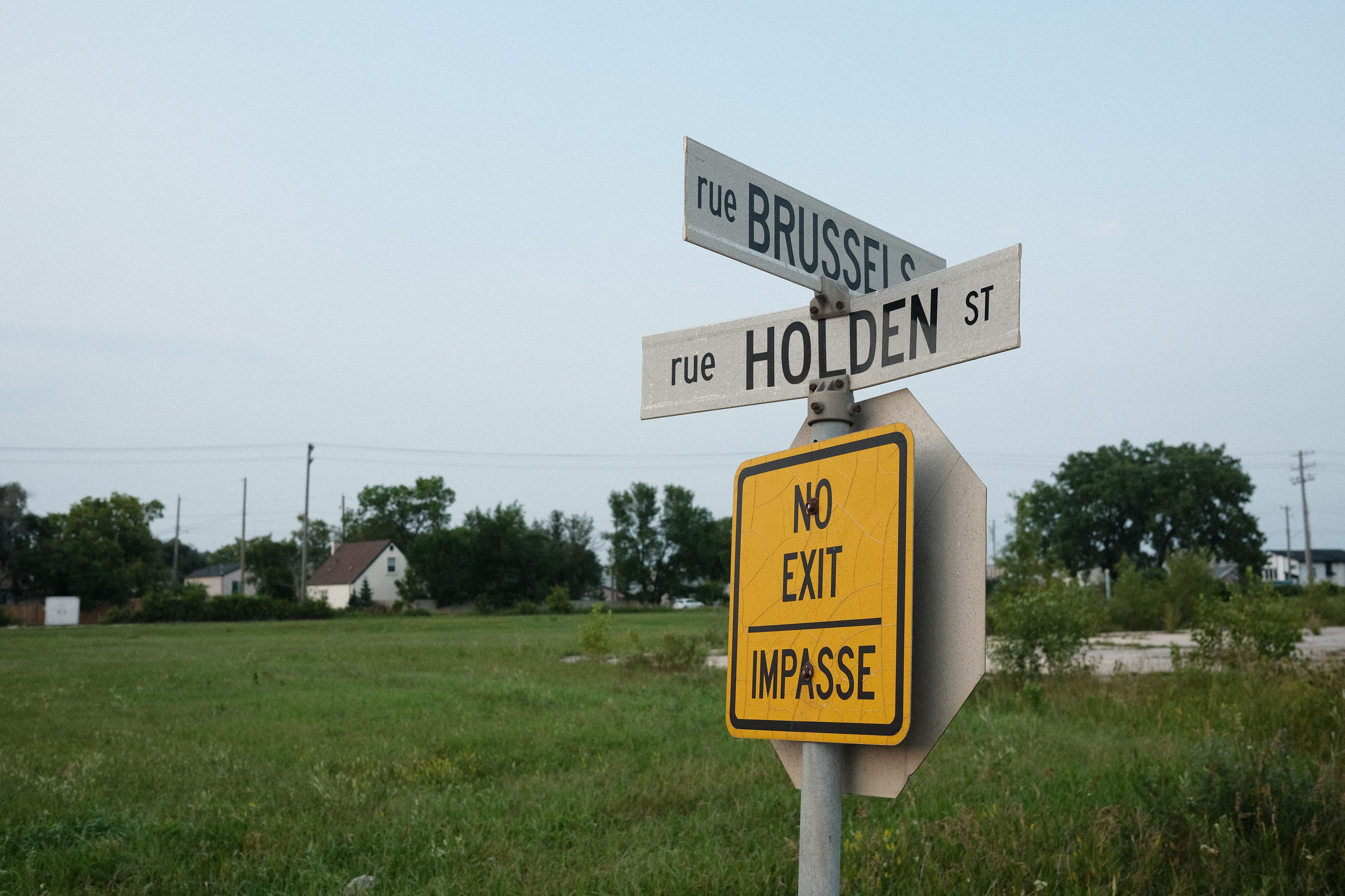
The Holden patch is bordered by Marion on its south edge, Lagimodière Boulevard (also known as Highway 59) on the east side, Holden Street (where it gets its neighbourhood name from) on the west and Dugald Road on the north side.

History
Holden and the area east of the Seine River were all part of the area that got incorporated into the Rural Municipality of St. Boniface in 1880. The municipality was quite large, stretching farther south into what is now St. Vital and even covered areas on the west side of the Red River. St. Boniface was incorporated into a town in 1883 and later a city in 1908.

In my initial research, it was unclear if the area of Holden was incorporated into St. Boniface’s town borders, but as evident in the above map, Holden was in the city boundaries (barely) by 1908. This city limit status wouldn’t last long as St. Boniface annexed land to the east in 1914 from the Rural Municipality of St. Vital, vastly expanding St. Boniface’s footprint.
During this era (1880-1910), the area saw an influx of immigrants from Belgium.
Here is Raymonde Loudfoot’s (whose grandparents were among those immigrants) account of the area around that time:
There were always people arriving from Belgium. Room was made for them in the different farms and houses in the neighbourhood until they were able to buy or build a house of their own in East St. Boniface or Belgian Town, as it came to be known. The Belgians would relieve the drudgery of hard work in their first years in their adopted country with their own kind of fun and their own kind of music. Octavia would wrap paper around a comb and put this to her lips while someone else would tap on pots or flex a saw and another would sing. Parties were held once a week, usually on Sundays. Edmund’s mother would make a Belgian dish called pup or pap—buttermilk with rice, flour and apples which was stirred until it boiled. Kegs of beer were consumed as everyone let their hair down before another week’s labour began.1
Edmund and Octavia Nuytten were some of the first Belgians to settle in east St. Boniface area. Their daughter who had arrived earlier, bought 20 acres of farmland that would become the exact boundary of Holden.
Their son Theo became a leader in the community and a “little mayor of the district.”2
The street of Nuytten in Holden indicates where Edmund and Octavia first settled down in the area, and was later renamed Theo Nuytten Street to honour its “mayor” in 1974.3
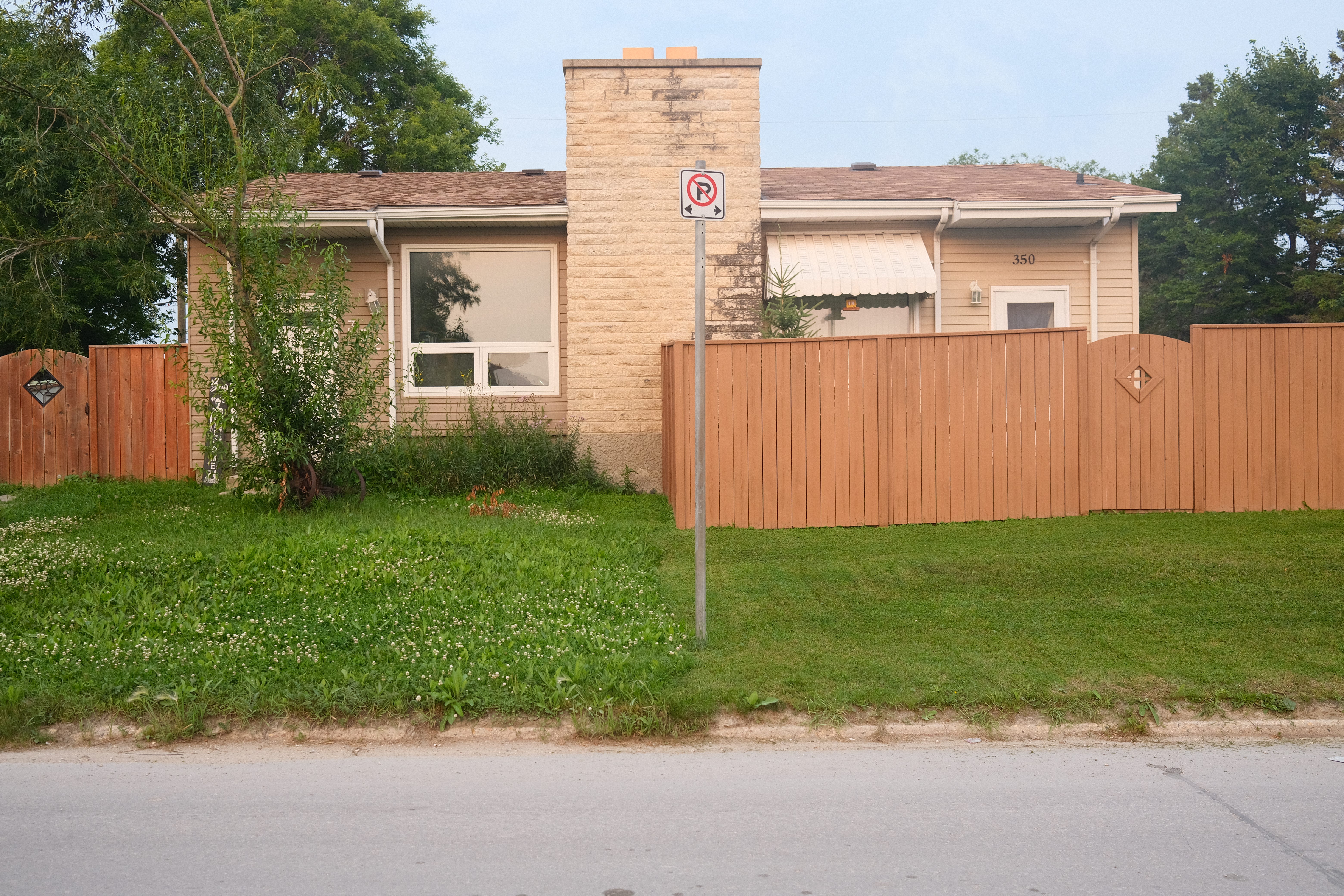
Based on other maps of the area and a preliminary look at the City of Winnipeg assessment and taxation website, most of the current houses are post-1945 builds.
The biggest change for the neighbourhood in the post-war era would be the development of Bourget Road into Lagimodière Boulevard. Based on the two maps below, Holden’s vibe as a small neighbourhood tucked away from major roads (besides Dugald Road) changed sometime between 1965 and 1969. Holden, alongside the rest of the City of St. Boniface, became amalgamated into Winnipeg in 1971.


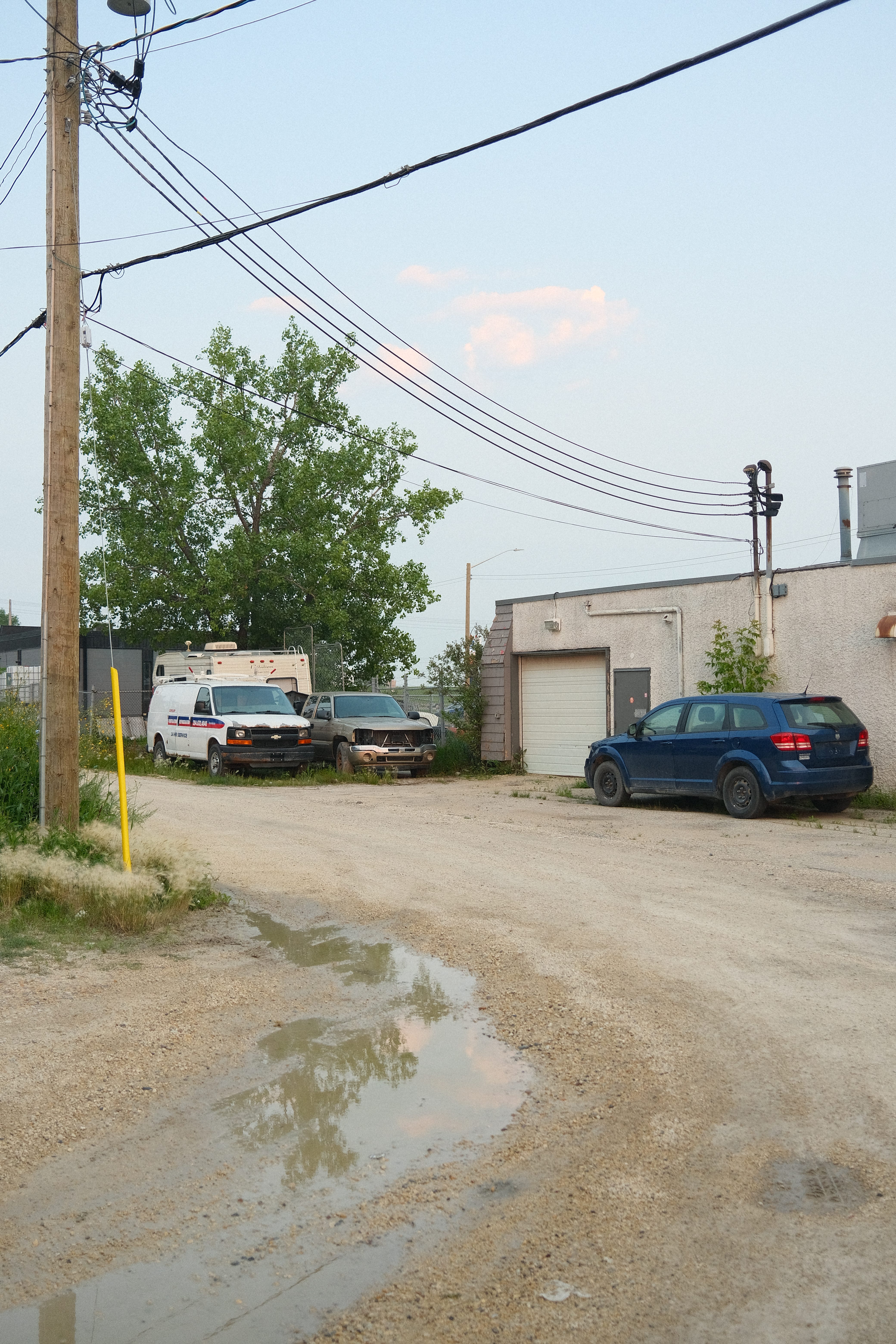
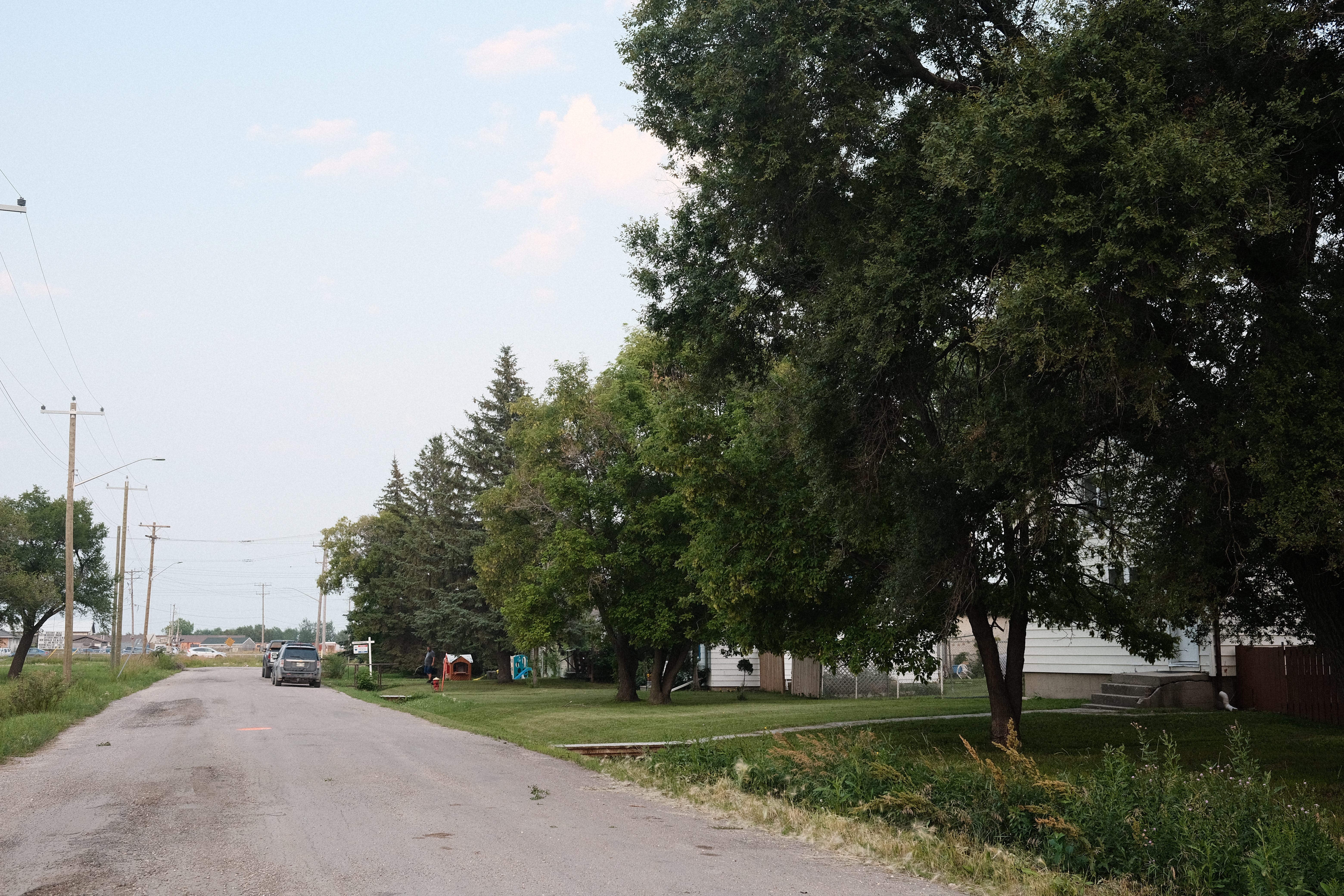
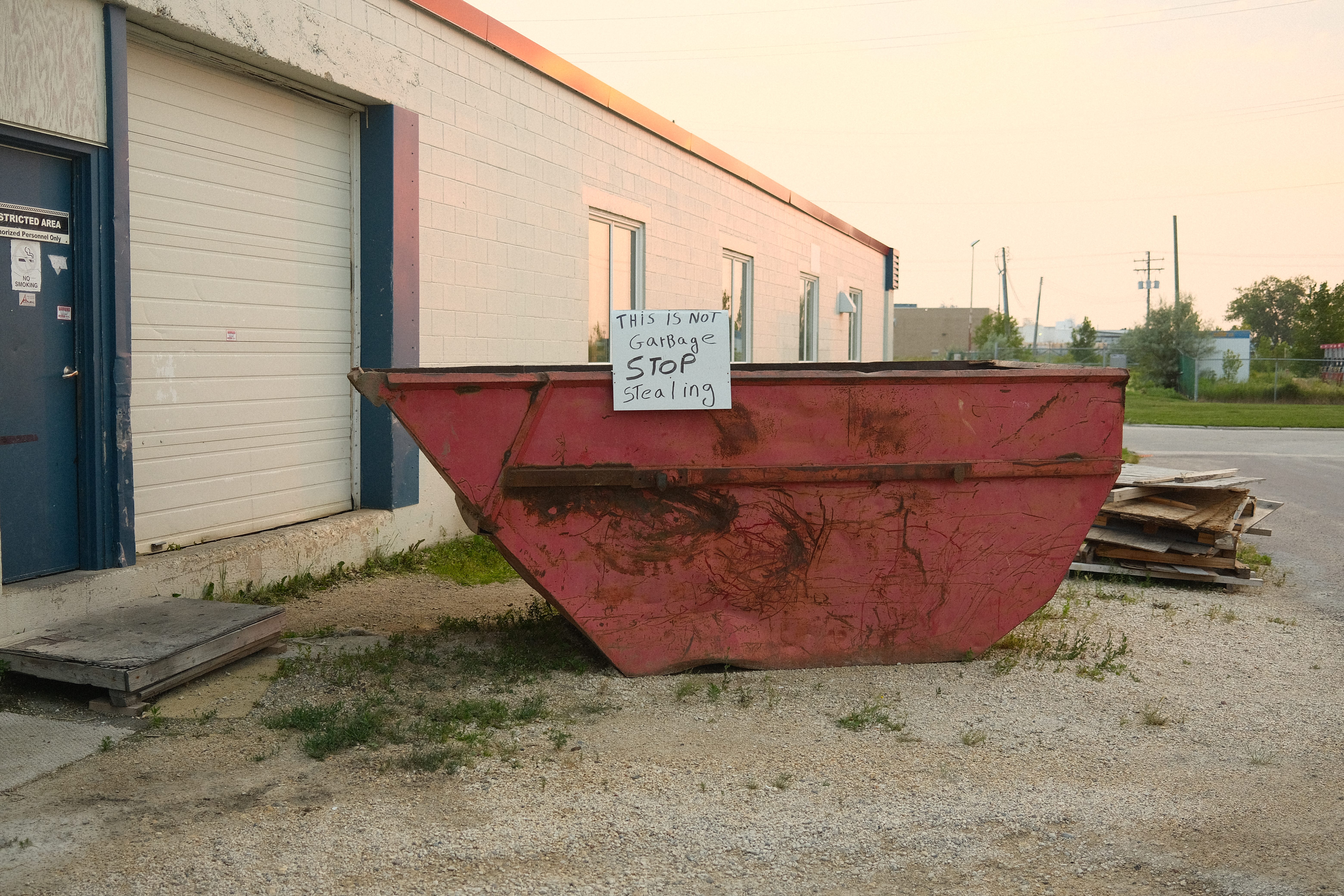
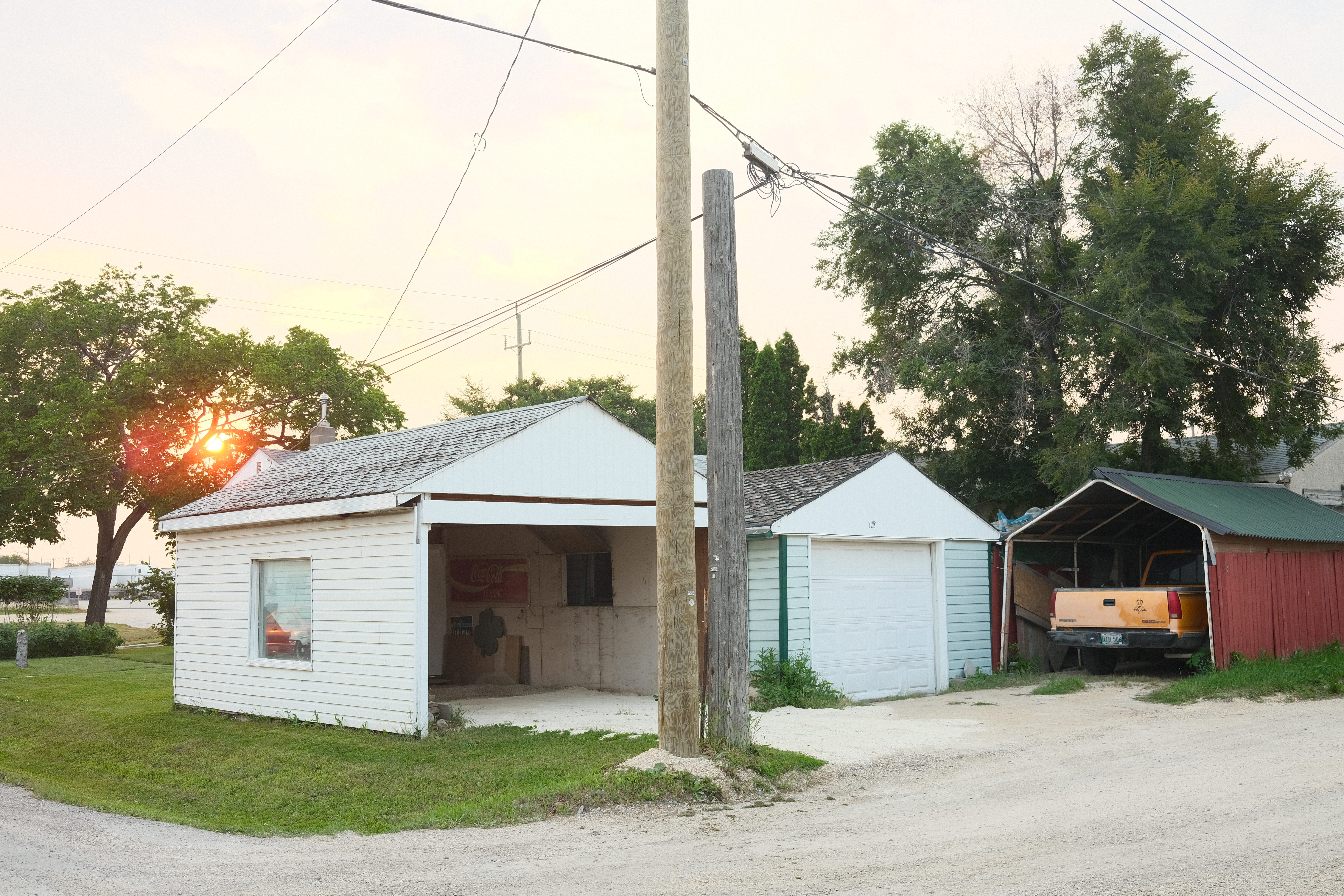
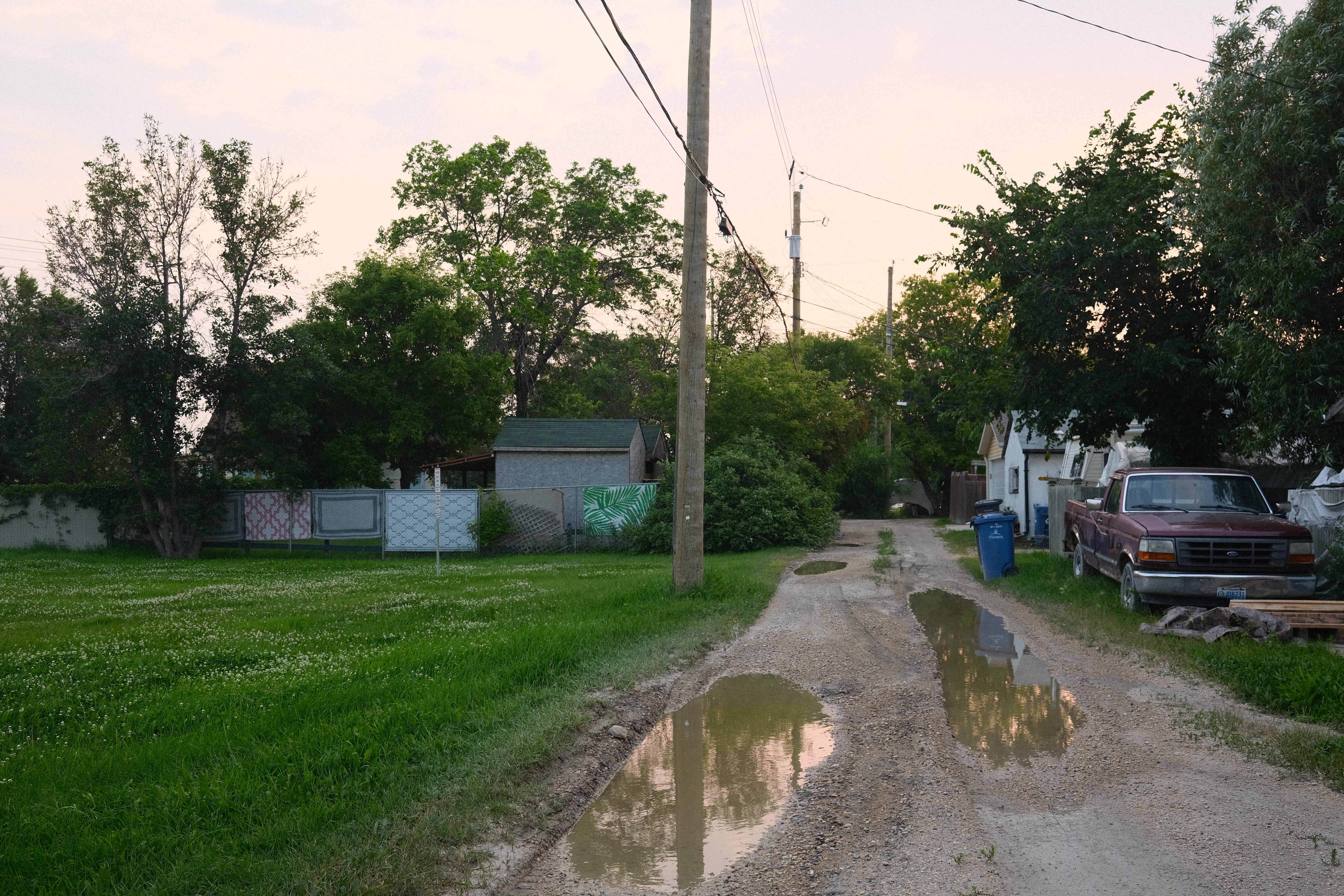
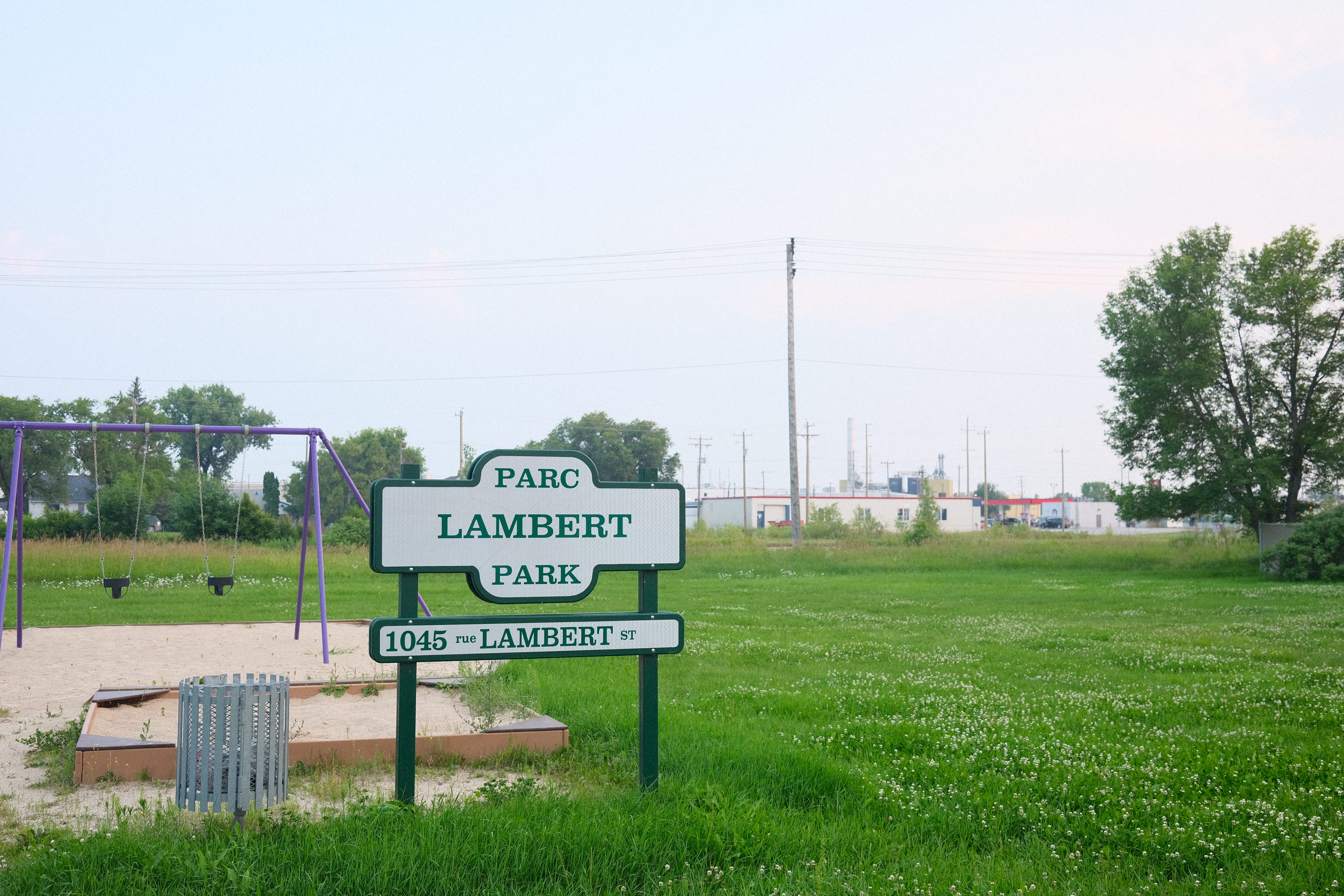
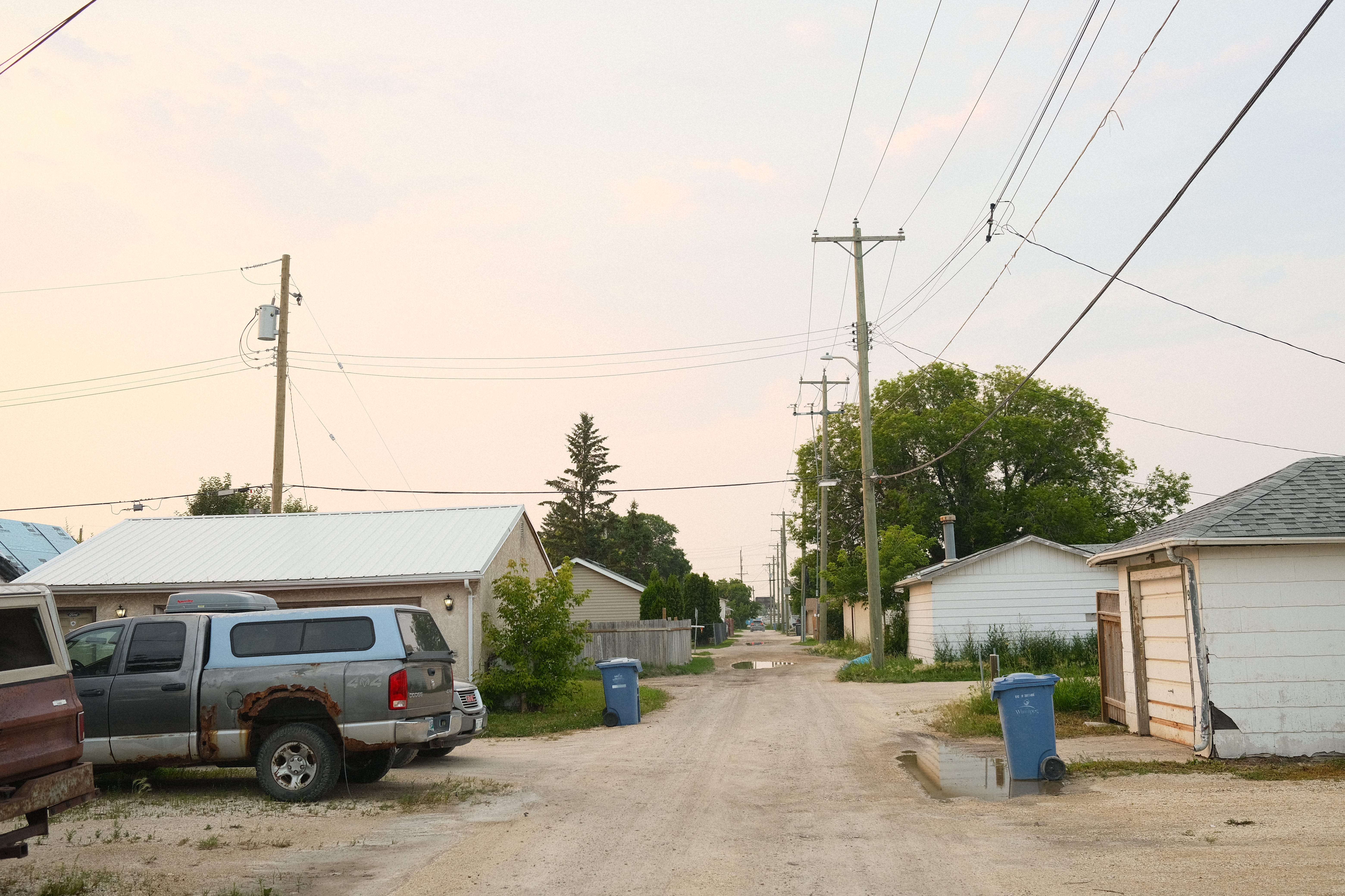
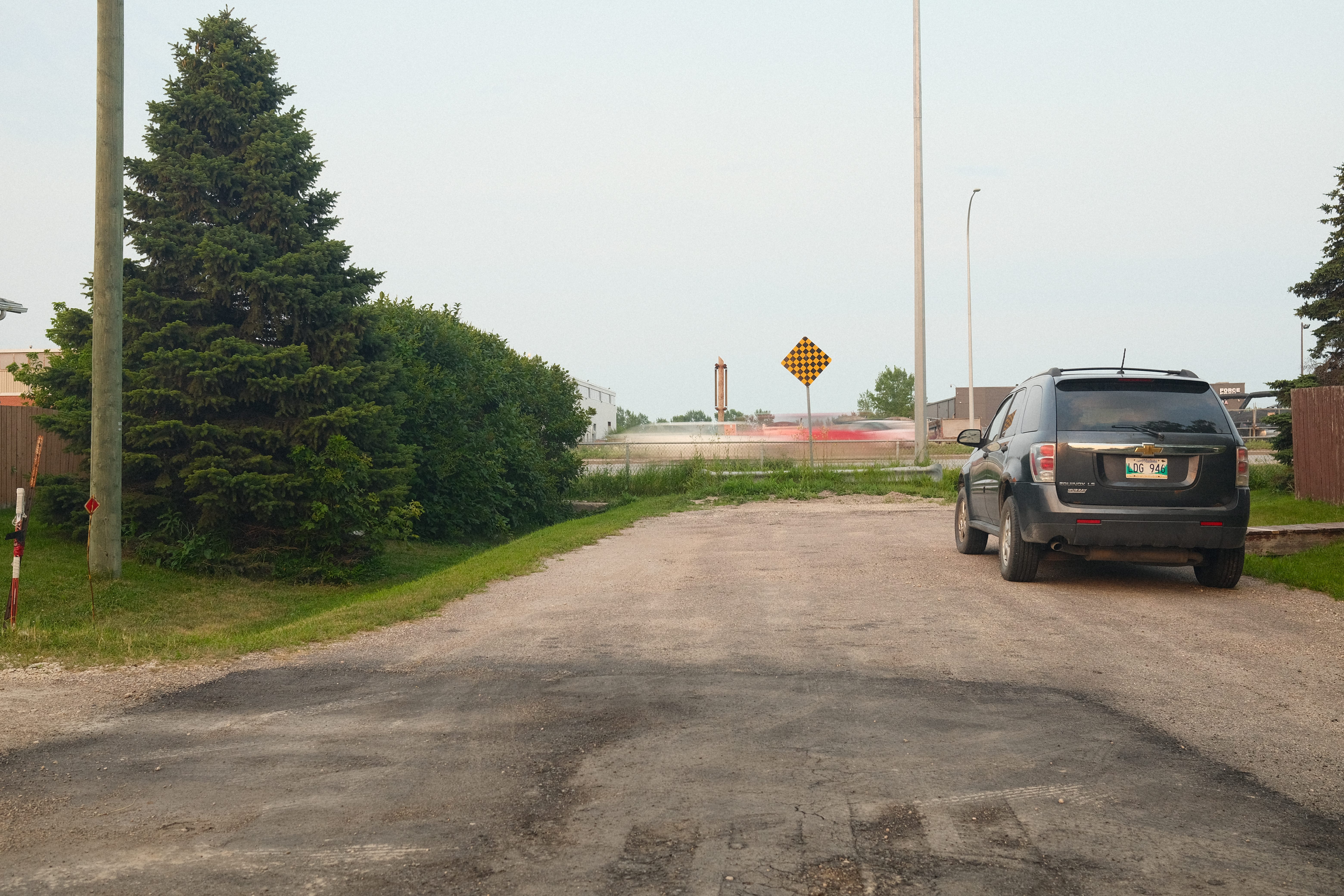
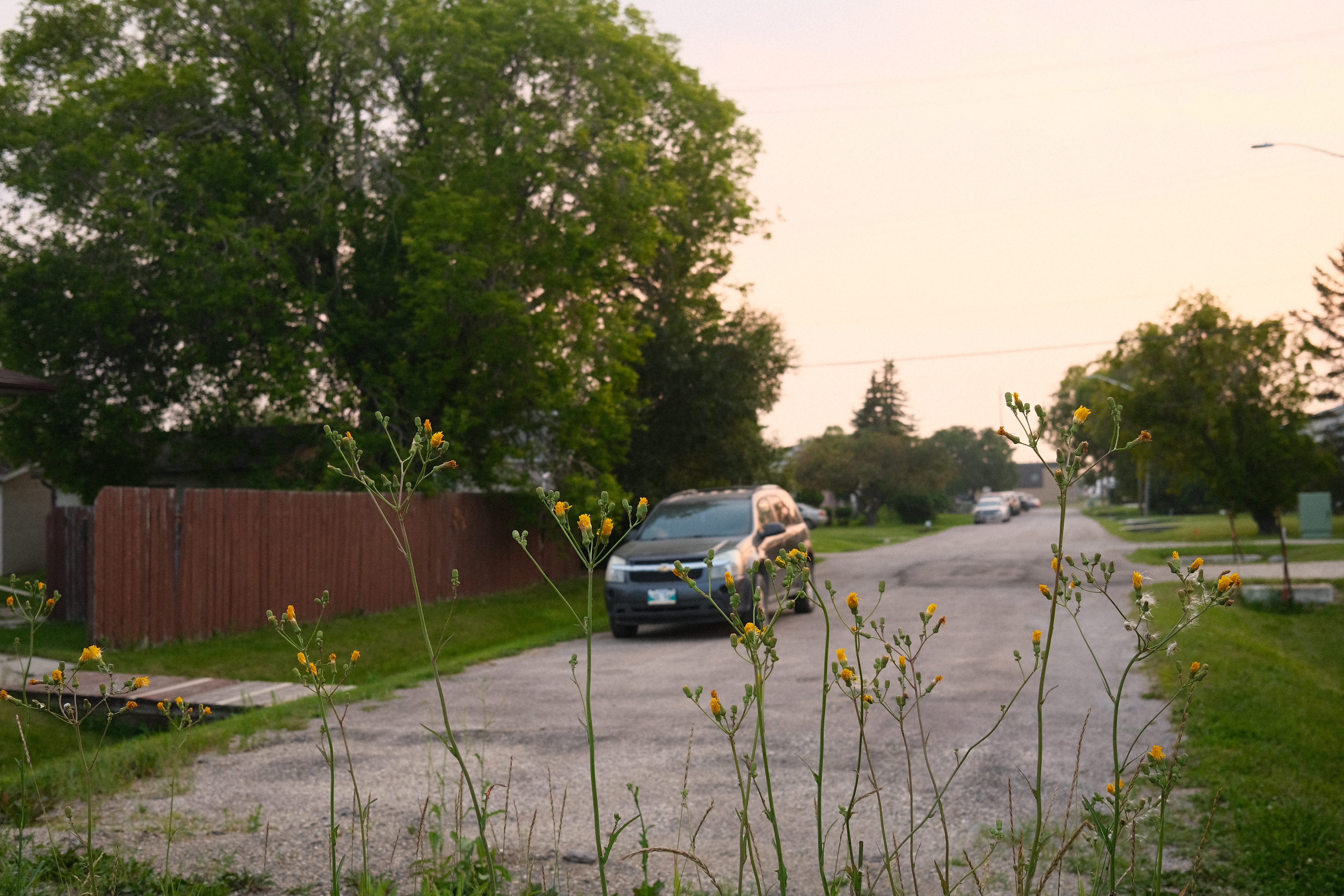
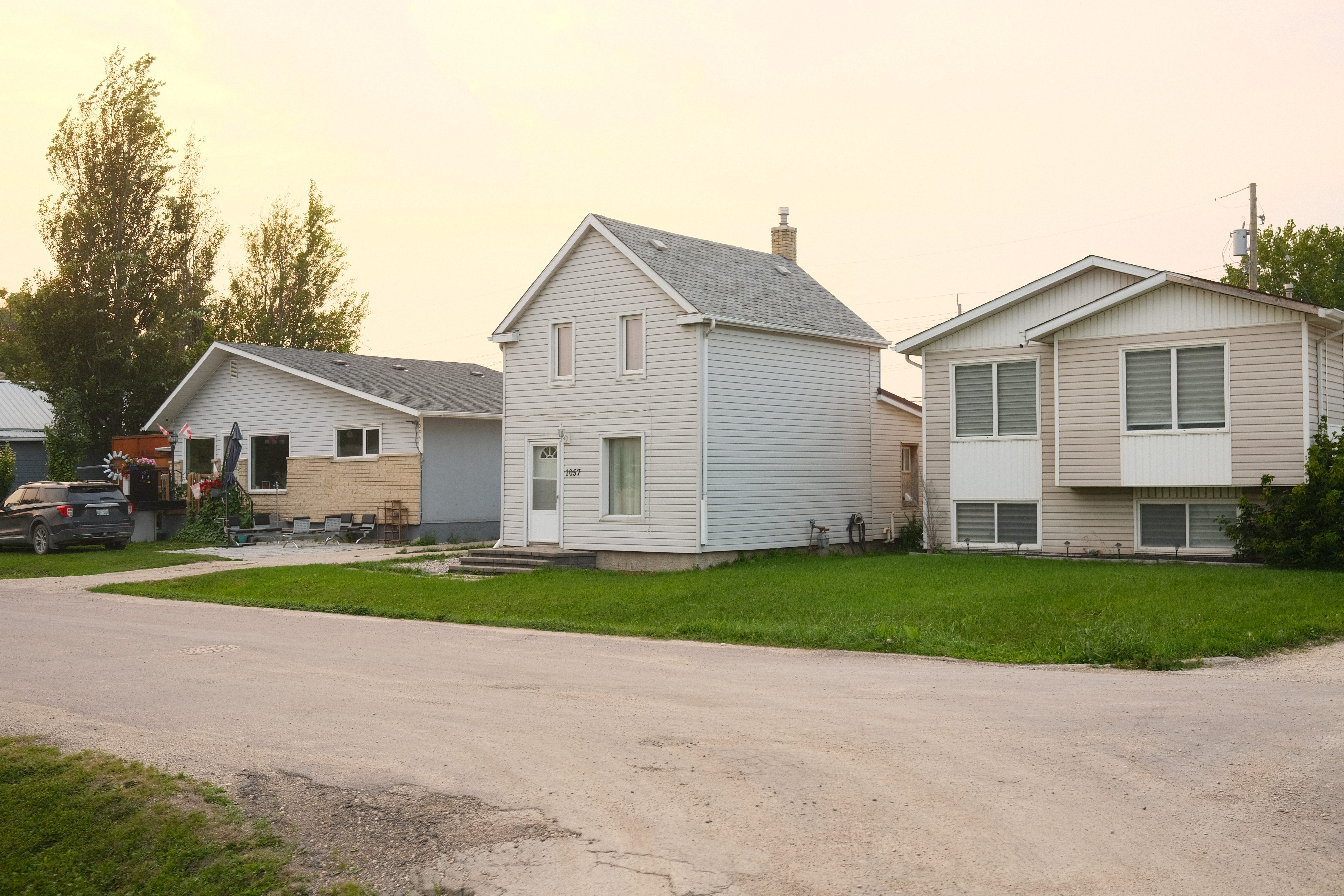
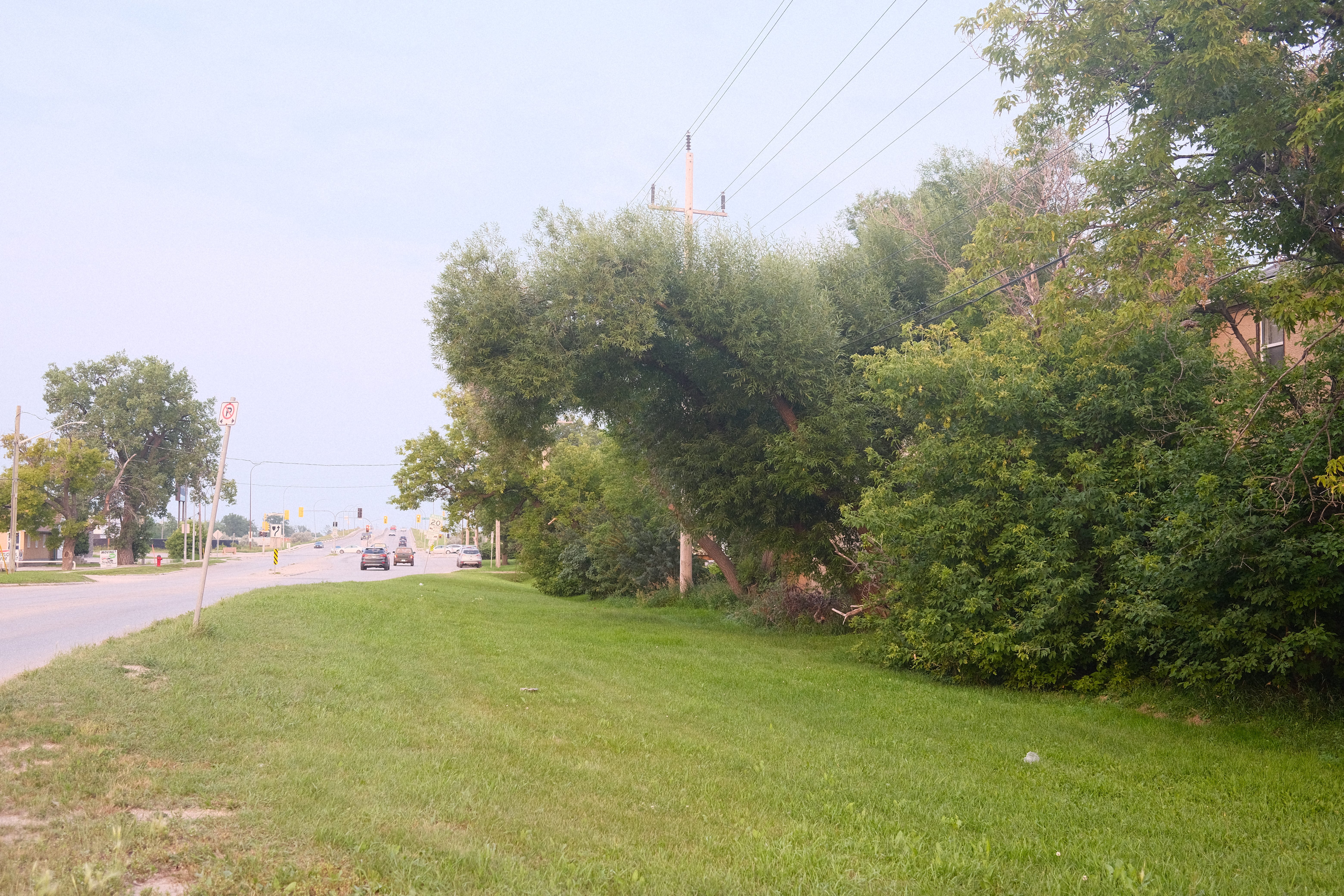
Photos and observations
I started in the south, just off Marion and worked my way north. What I noticed right away from the maps and walking through the neighbourhood is that there is a distinct north and south side of Holden. Dividing these two areas is a large green space in the centre with a train line (still active) that cuts through the neighbourhood. On the south side is Brussels street, on the north are about a couple of other streets including Theo Nuytten street.
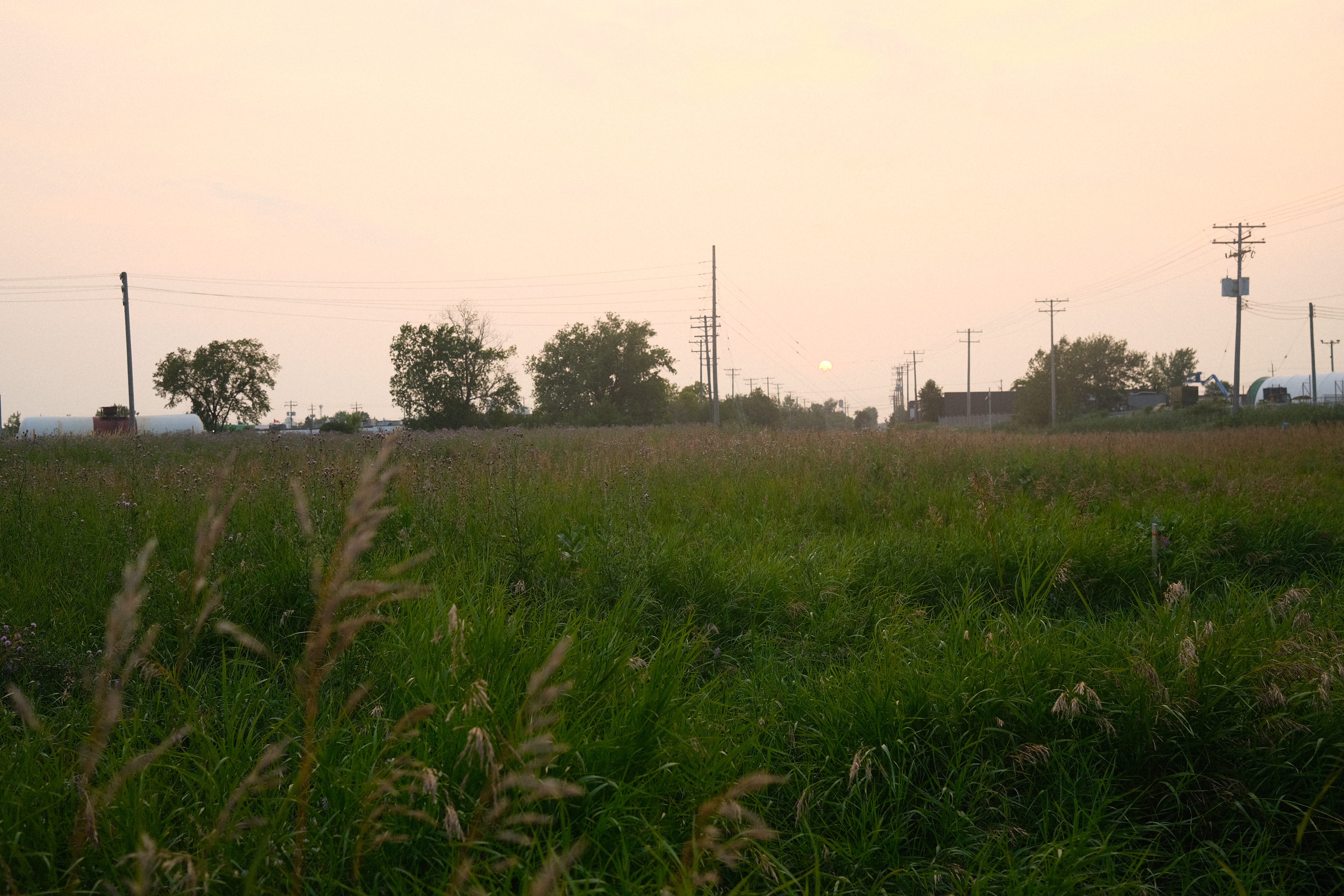
On the north side there were a lot of other back alleyways that seemed to be used as streets, probably because of Dugald and Lagimodiere. This also results in hearing the traffic from these two major routes throughout the neighbourhood although towards the eastern edge it gets quieter.
Here are several snippets of audio that I captured throughout the neighbourhood walk. Give it a listen while you swipe through the photos (caution: the first clip is on the louder side so be sure to lower your volume.)

Map bibliography:
1913 map: McPhillips' Plan of the Parish of St. Vital, Part of the Parish of St. Boniface, and Part of the Parish of St. Norbert, Manitoba. Flickr, uploaded by LAC-BAC, 2023. Accessed August 7, 2024. https://www.flickr.com/photos/lac-bac/50743278048/in/album-72157716110143991/.
1965 map: Pathfinder Air Surveys Ltd. Map and Street Guide Metropolitan Winnipeg Manitoba Canada from the Air South-East. 1:4,880. Winnipeg: Canadian News Company Ltd., 1965. https://www.flickr.com/photos/manitobamaps/2311845309/in/album-72157604052609937/
1969 map: Surveys and Mapping Branch, Department of Mines and Technical Services. East Kildonan. Edition 3, 1969. Sheet 62H/14h. Scale 1:25,000. University of Manitoba Libraries Map Collection. https://www.flickr.com/photos/manitobamaps/2312629276/in/album-72157604052609937/
Loudfoot, Raymonde. "The Nuyttens of Belgian Town." Manitoba Pageant 19, no. 3 (Spring 1974): [pages if available]. Manitoba Historical Society. Accessed August 7, 2024. http://www.mhs.mb.ca/docs/pageant/19/belgiantown.shtml.
Ibid.
Loudfoot, Raymonde. "The Nuyttens of Belgian Town - A Post Script." Manitoba Pageant 20, no. 1 (Autumn 1974): [pages if available]. Manitoba Historical Society. Accessed August 7, 2024. http://www.mhs.mb.ca/docs/pageant/20/belgiantownps.shtml.
These weird little residential bubbles like Holden, Dufresne, and Tissot, surrounded by the vastness of industrial East St Boniface are really fascinating from a geographic standpoint. They’re these little islands that defy their neighbours. It also always felt strange that the city never made a smoother connection between Marion and Dugald as the straight shot east out of the city.